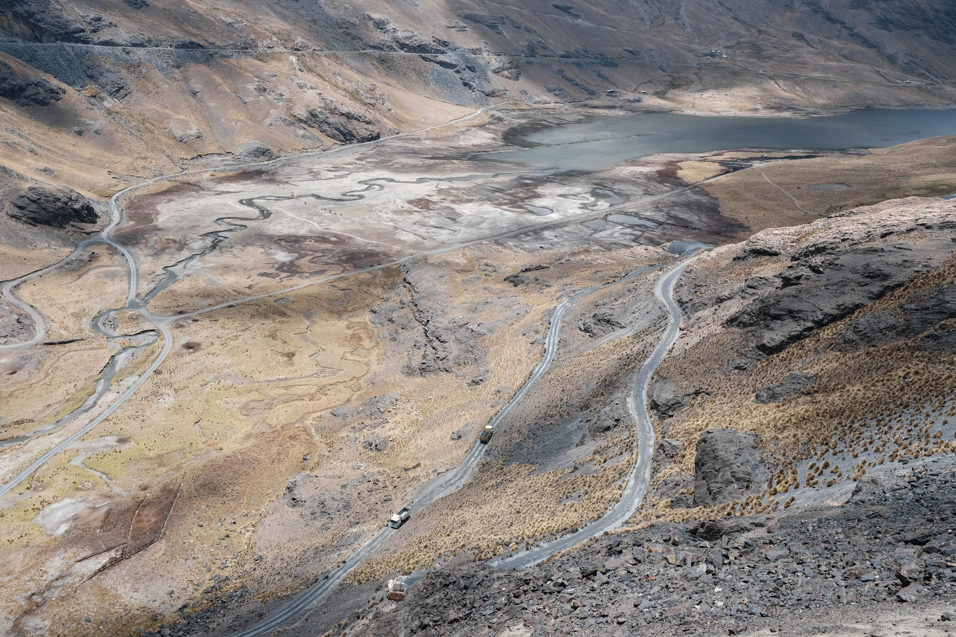
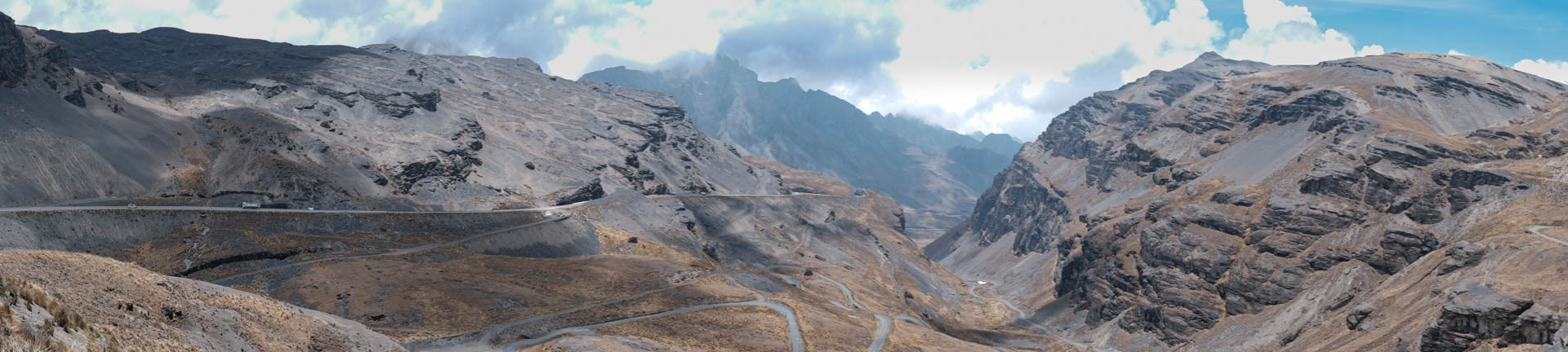
Over the 4.670m high La Cumbre from La Paz down to the Yungas
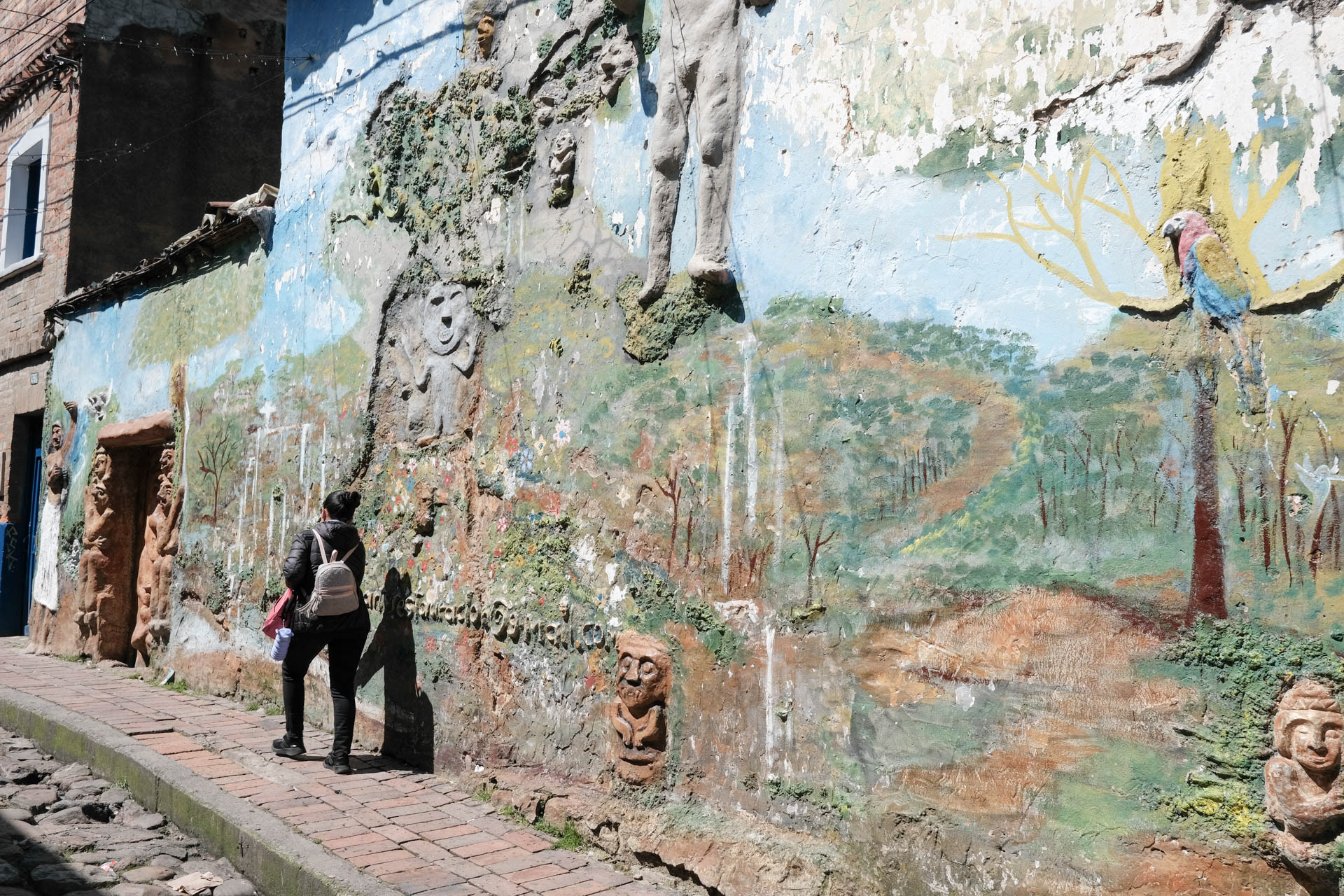
Getting to know the other, the change of perspective, learning to understand people who seem to be complete strangers. The South American indigenous. Solo-unsupported. When you cross one of the most isolated areas by yourself and without a support vehicle, you are fully dependent on the support of the indigenous people. You can hardly experience them and their culture, nature more intimately.
With a length of over 9,000 kilometers, the Andes are the longest mountain range in the world and, with 42 six-thousand-meter peaks, the highest mountains outside of Asia.
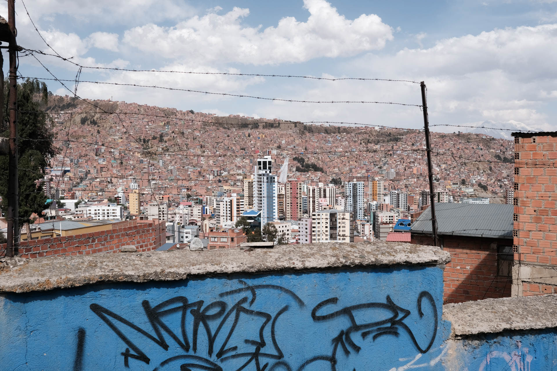
Bolivia has a population of just under 12 million people living in an area about 15 times the size of Austria. The country is probably the most authentic, and many consider it the poorest, in South America.
Most of the time my tours run between villages of the Quechua and Aymara. They and numerous other indigenous people make up the largest part of the population with over 60 percent.
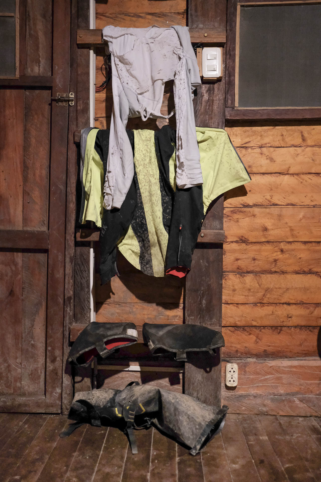
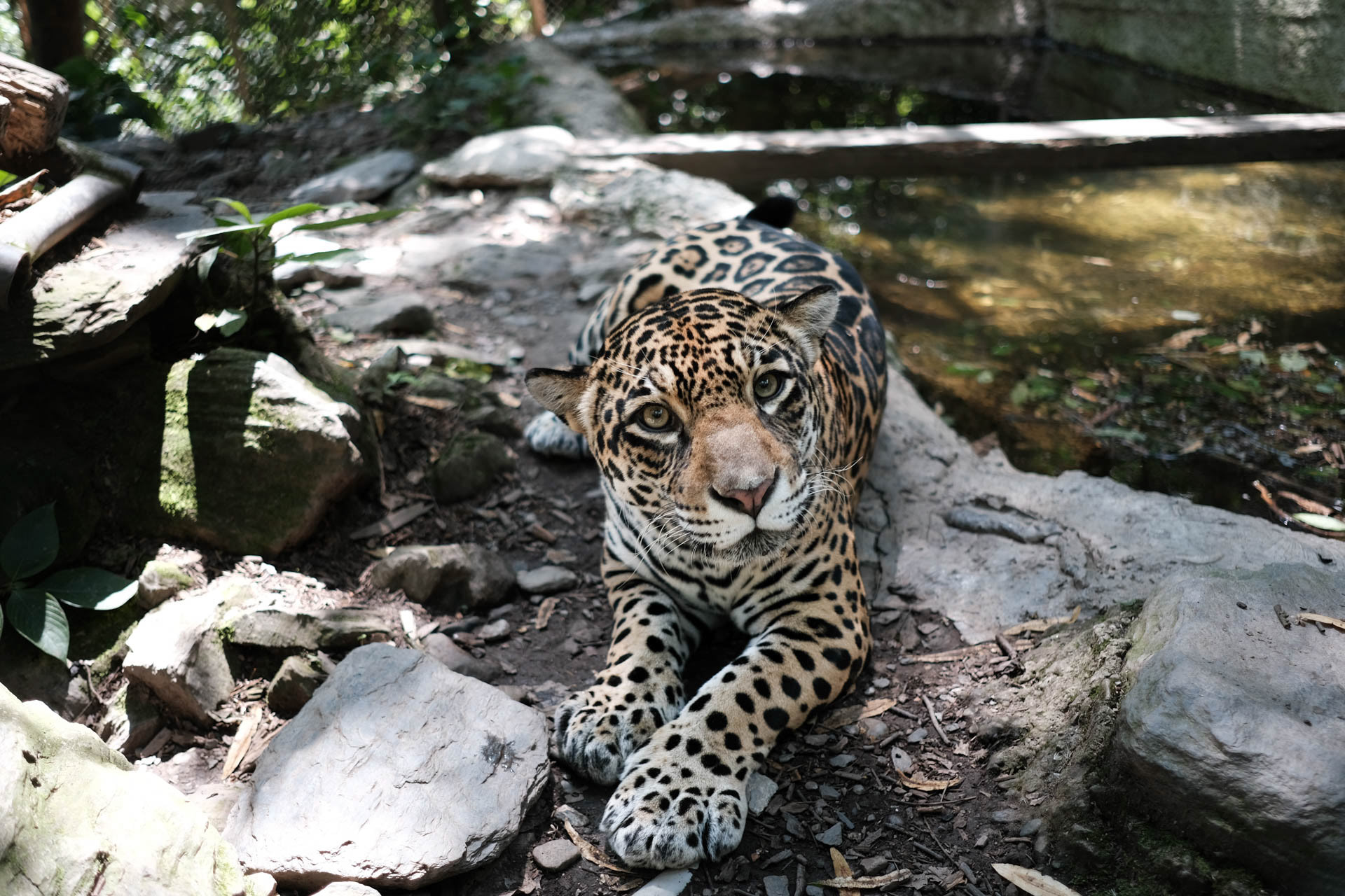
I am grateful for every roof over my head. Whether in the shelter at the tree house with free-roaming leopards or in the indigenous village without water and toilet. Unheated at sub-zero temperatures at night they are all.
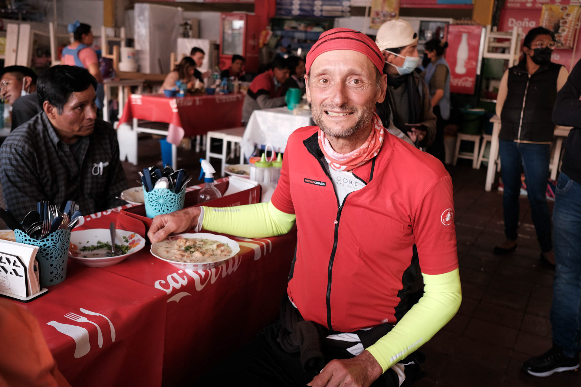
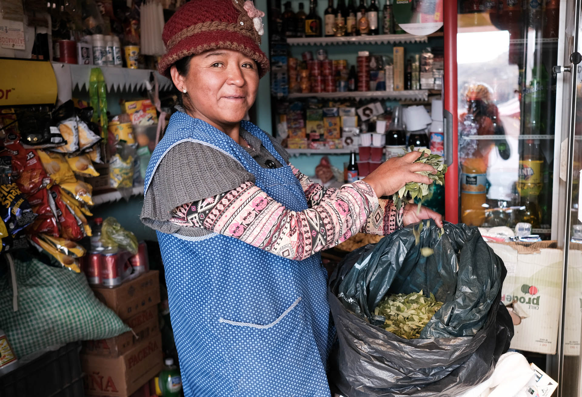
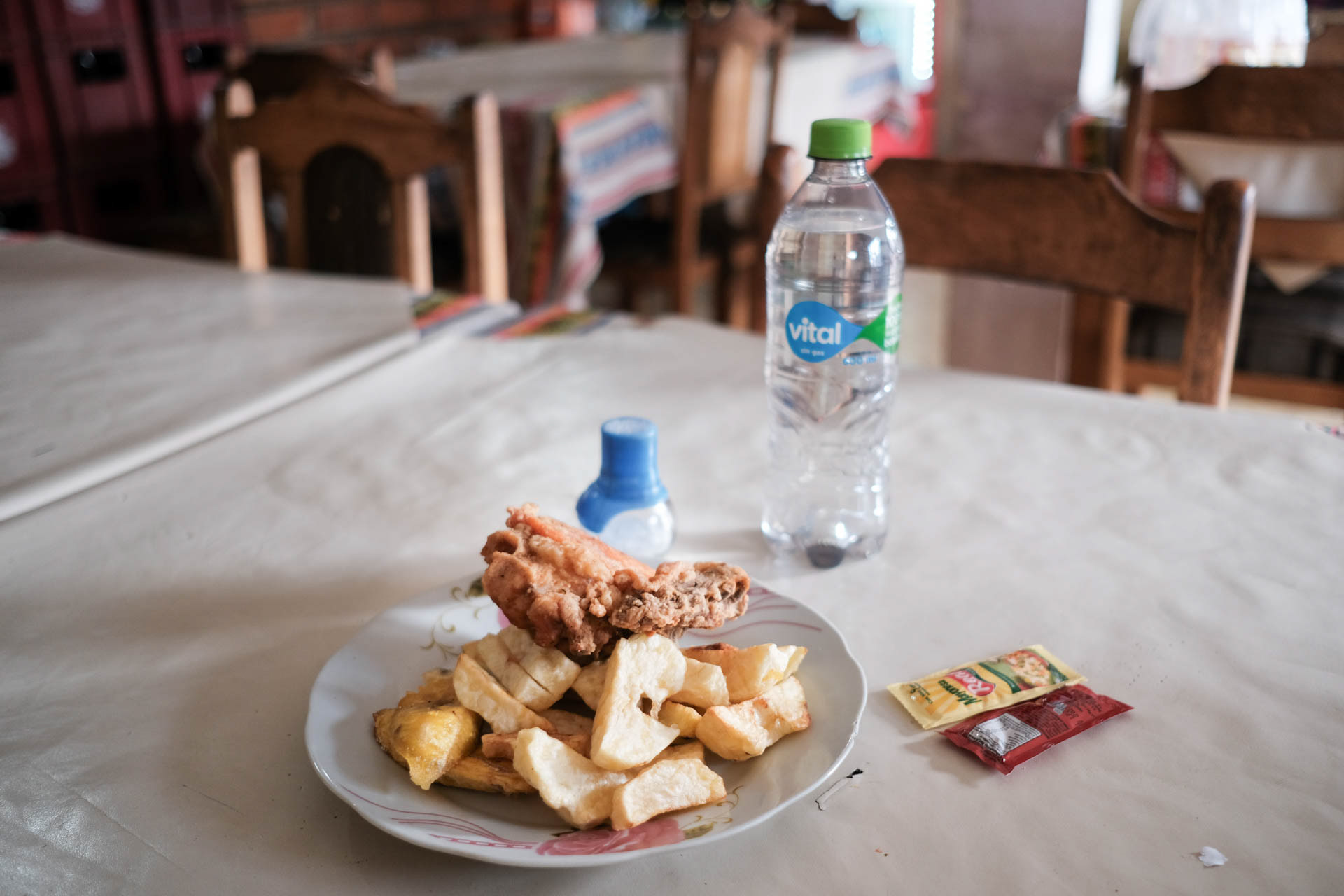
I usually eat at simple stalls and street kitchens.
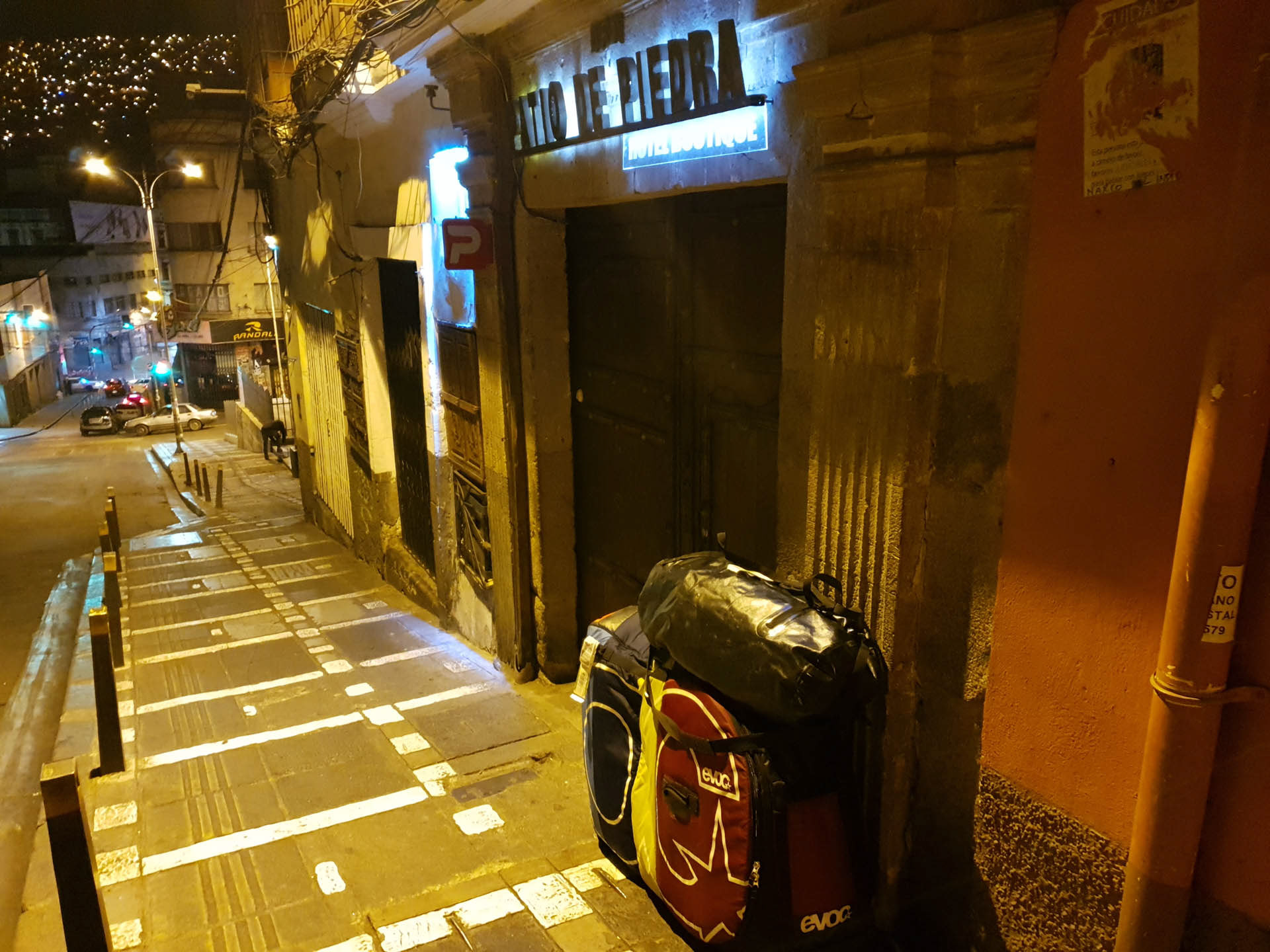
When I get off at the Patio de Piedra at 3 o'clock in the morning after thirty hours of travel, I initially think I am standing in front of closed doors. But then the sleepy night porter opens and gives me a tea made of coca leaves.
At noon in the southern hemisphere, the sun is in the north and run-off water forms a spiral in the opposite direction. The clocks also go in the other way.
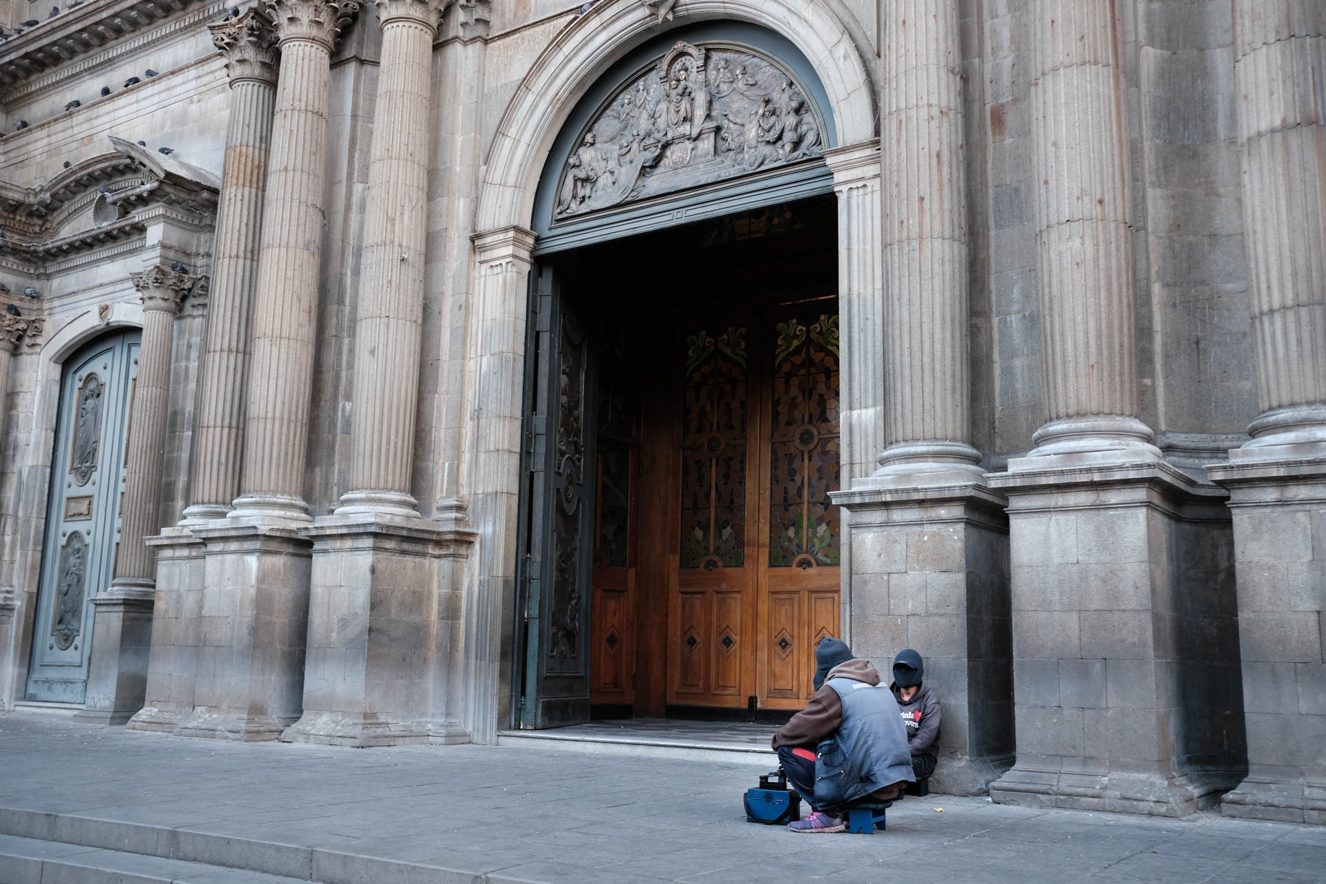
Shoe shiners are ubiquitous. They wear black face masks and baseball caps to avoid being recognized. The work is not good for their social status.

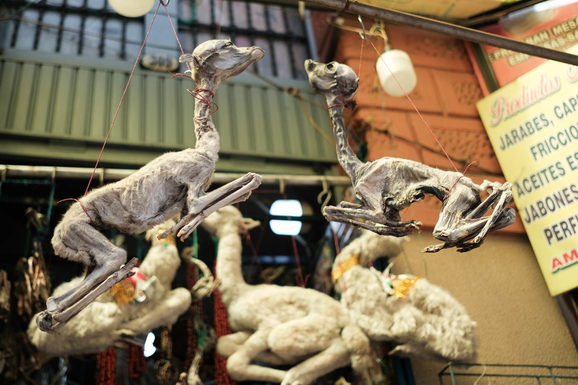
Dried llama foetuses are the favorite food of Pachamama, the mother earth. At La Cumbre they meet me with their shamans at 4,670 meters and show me the right way.
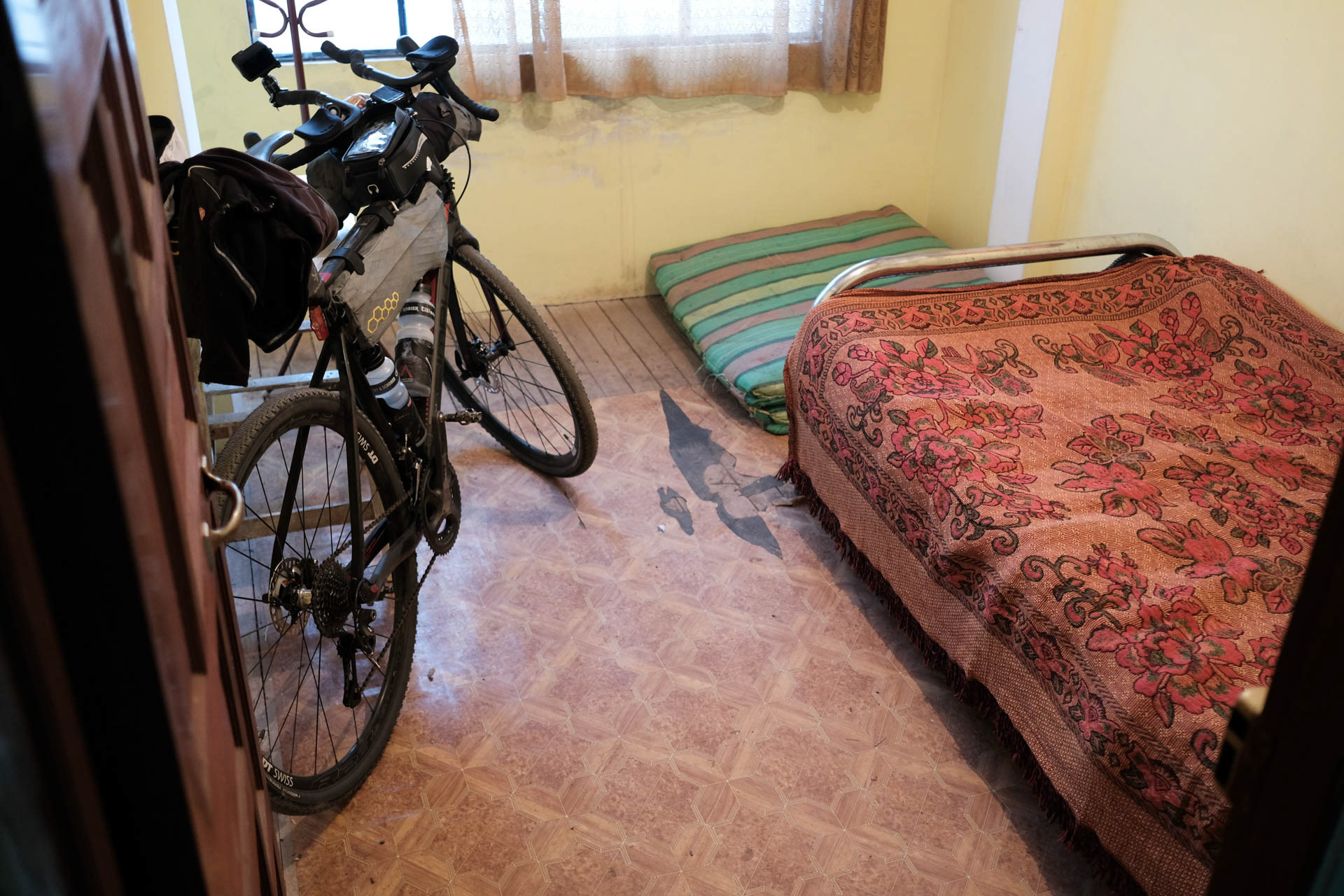
Jorge is actually bringing my bike bag into his car at three o'clock in the morning. After 30 hours of travel, the drive on the highway from El Alto down to La Paz is already impressive. Days later I will ride the same route by bike - because I can't find another one. The most important thing: with the bike at the room there's no problem. I didn't know yet that it will be the only place on the whole tour where I can communicate not only by sign language and translation app.
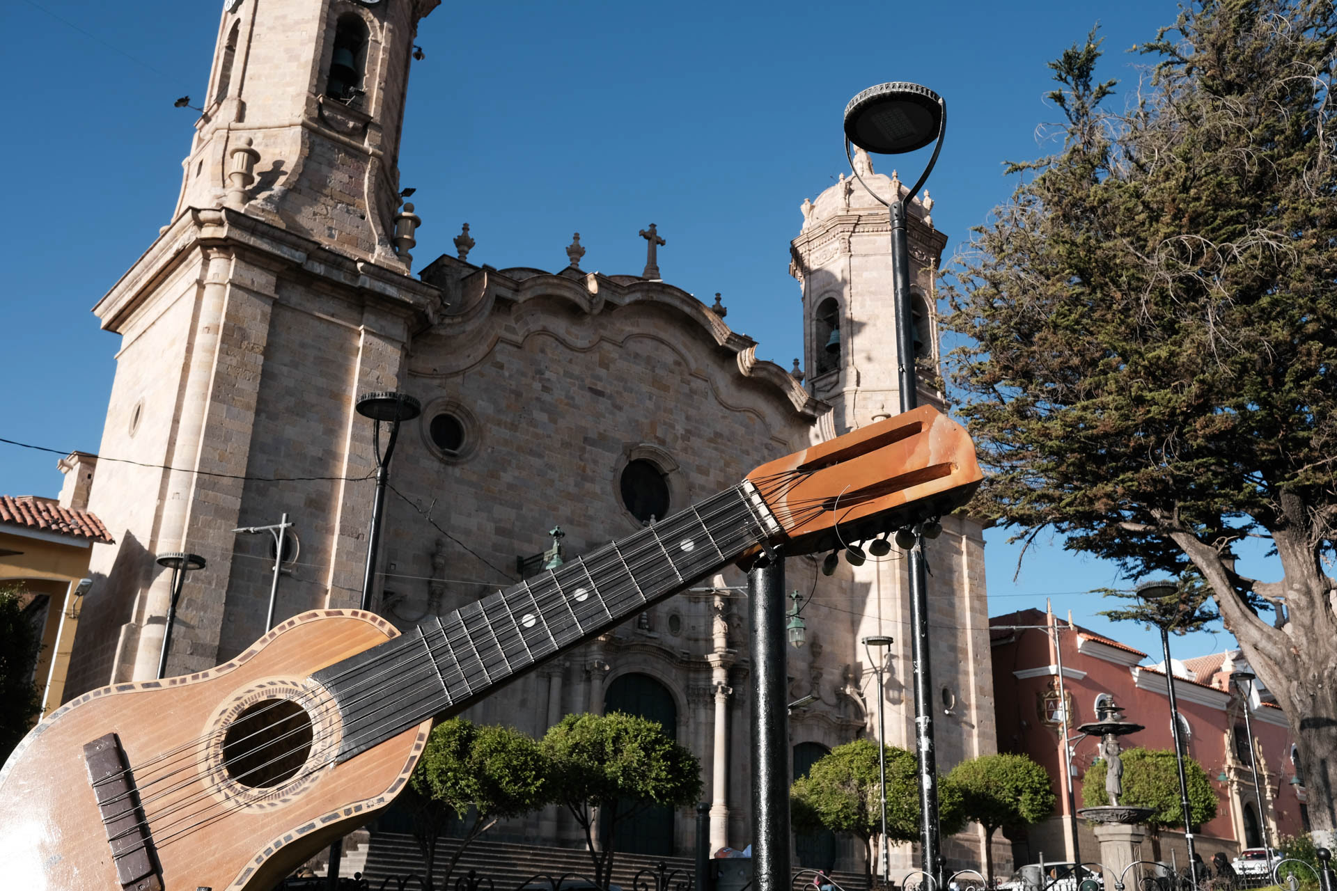
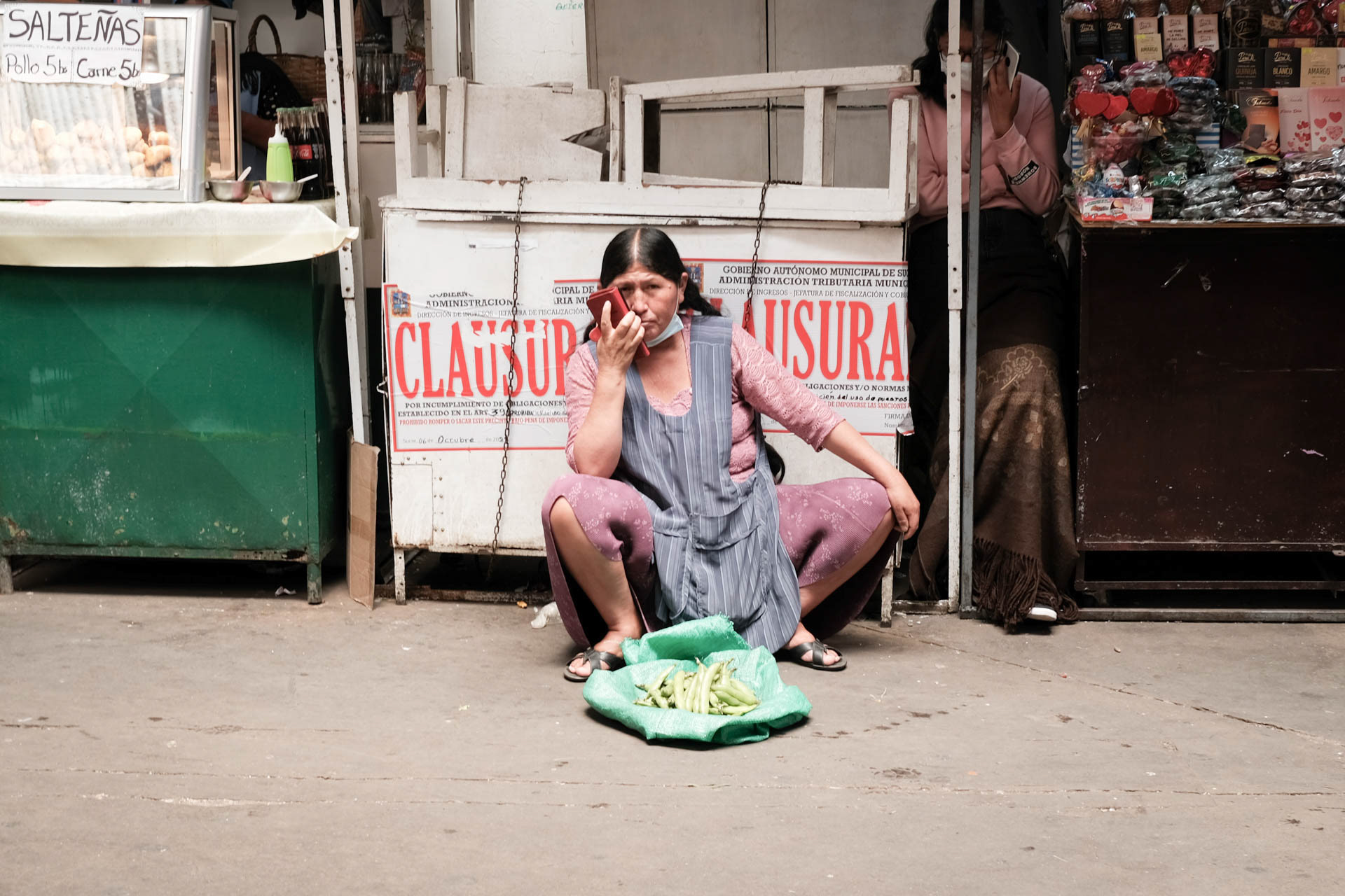
On the first day in La Paz I stroll through the steep streets and am amazed that the whole city appears to me as a marketplace. I am drawn up to the Mercado Uruguay. Only locals shop at this market, there are no tourists. The meat stands are really hard stuff. Nothing is refrigerated here.
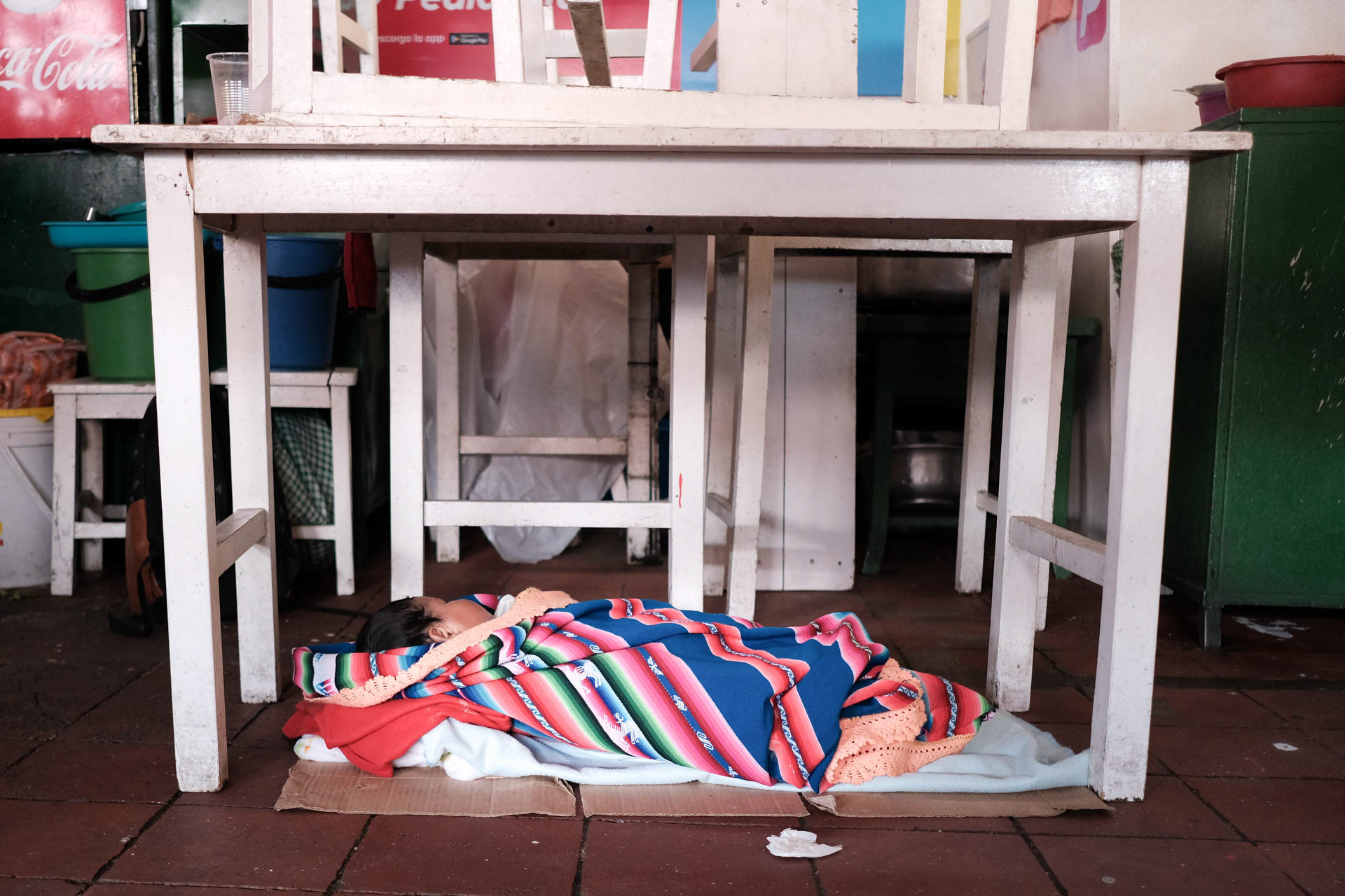
I go outside the door. Like every night, a woman sits there on the icy ground with her child and sells sugar. I take a few and give her the rest of my change. She thanks me and wants to give me most of it back. Her child is beaming all over her face. I laugh at the two of them and see a second child for the first time. The infant lies wrapped in many blankets with his mother.
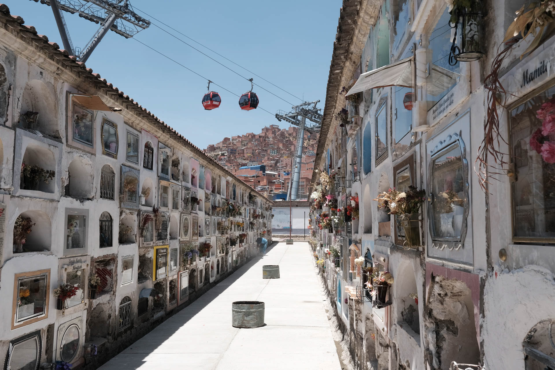
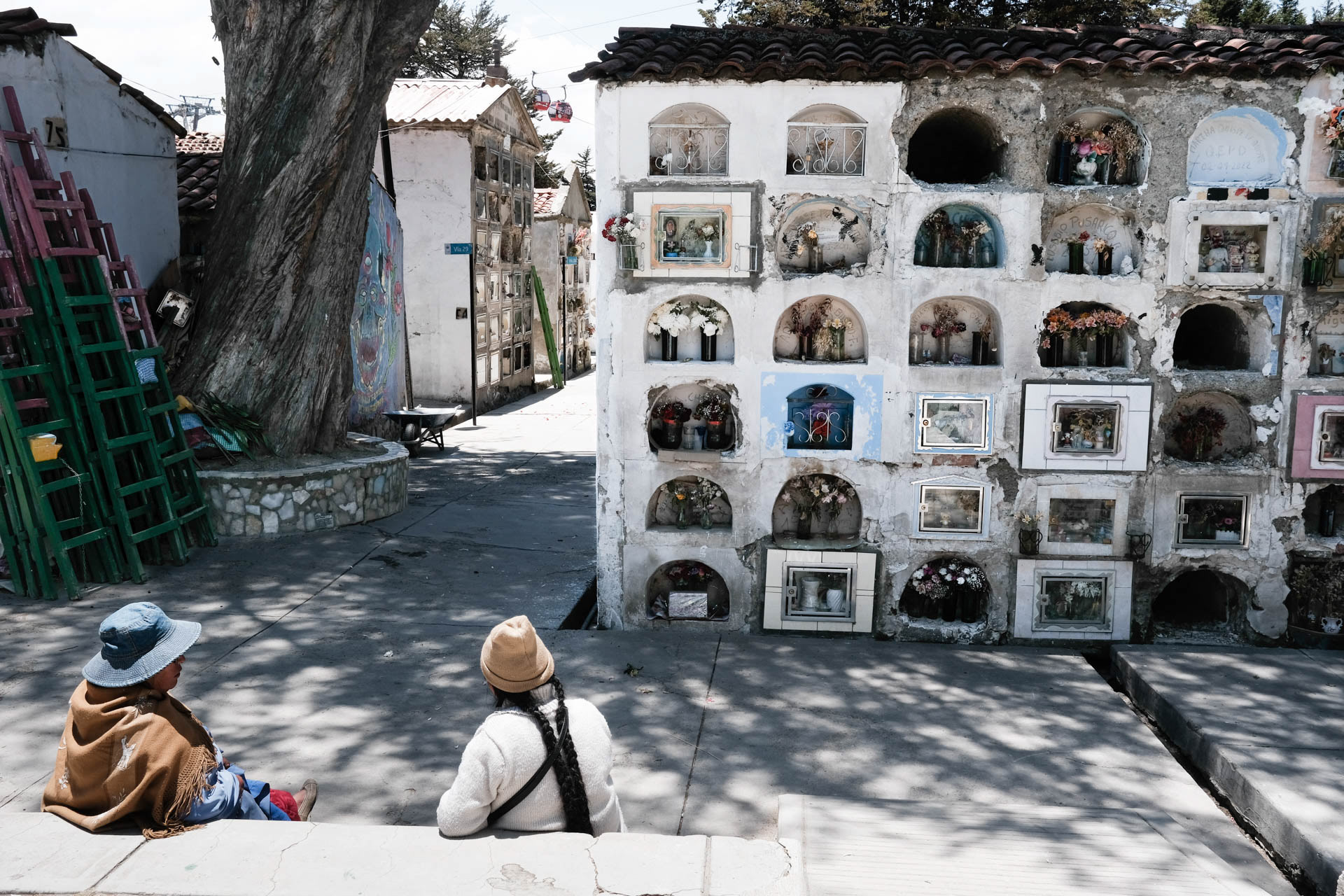
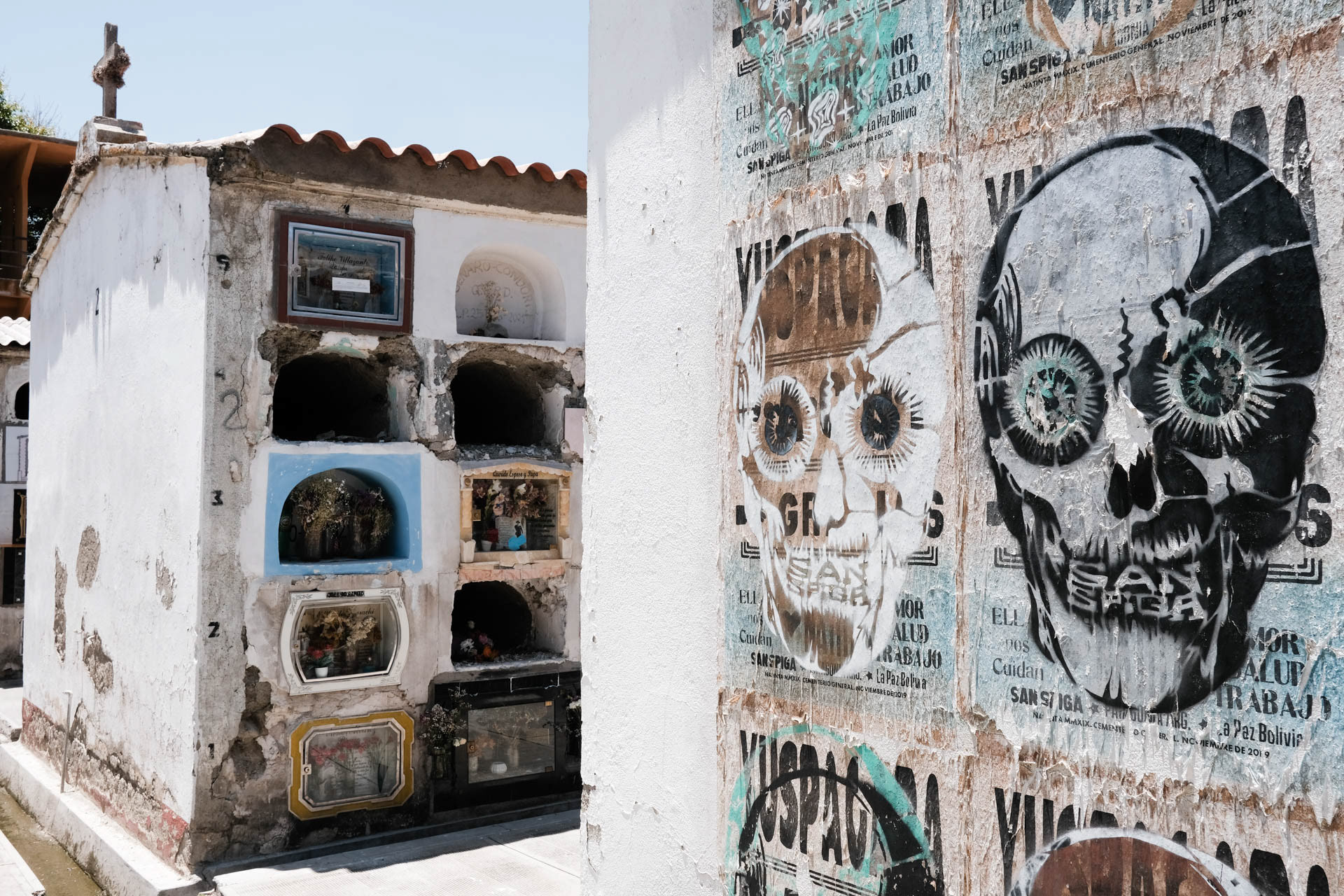
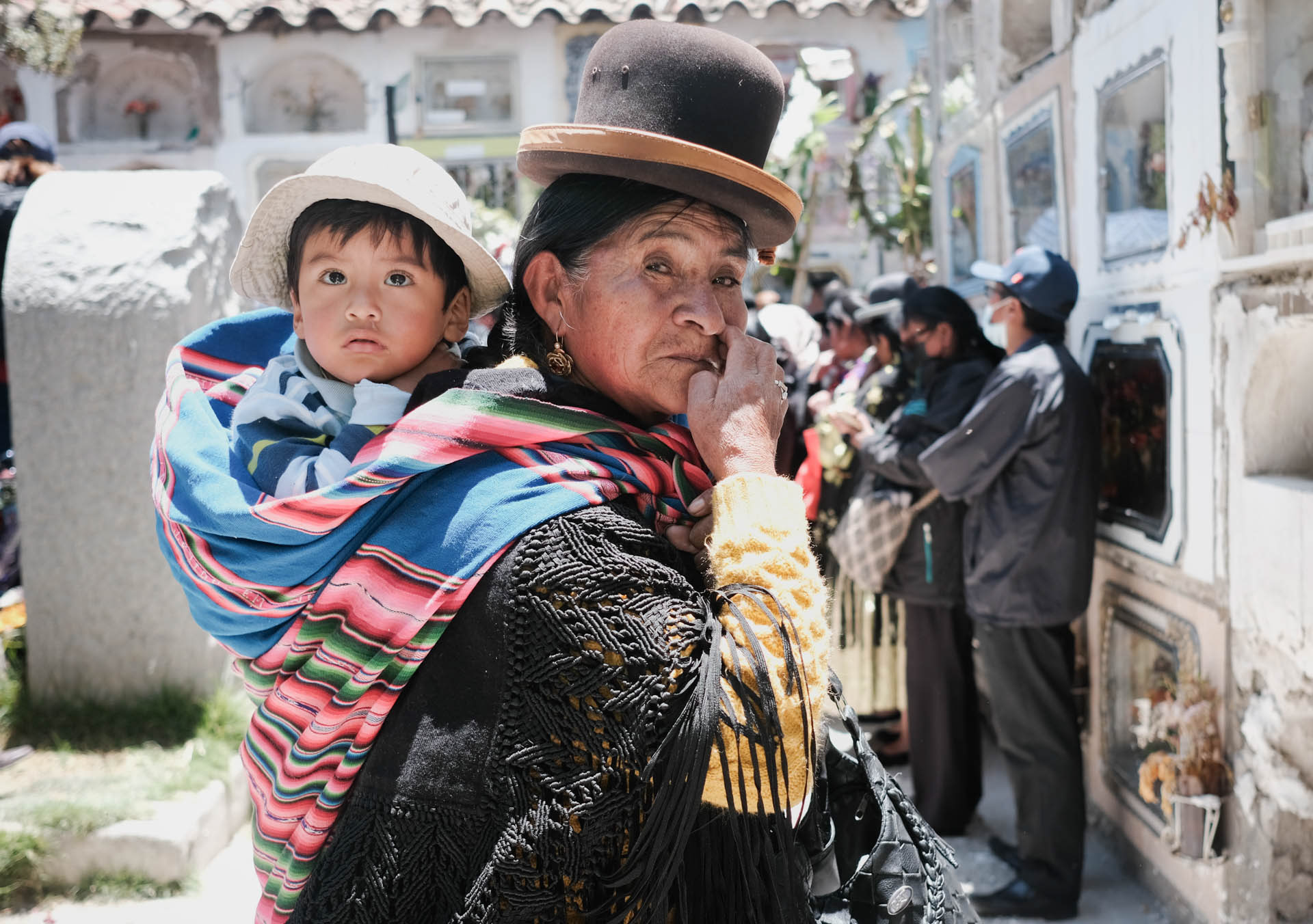
At the colossal central cemetery, the dead rest in their coffins in lockers of sorts. There is colorful hustle and bustle, music plays everywhere and just before All Saints' Day the locals bring food and celebrate together with their deceased. Some even take their skulls home for the feast. What soul wants to be sad?
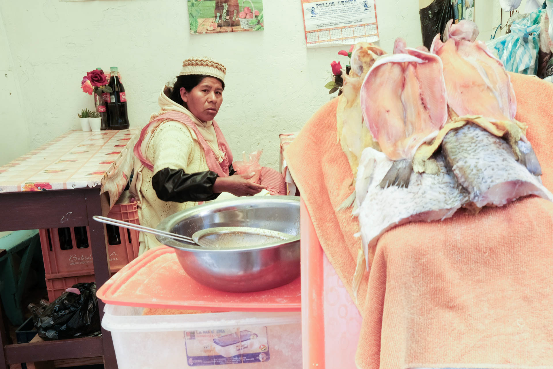
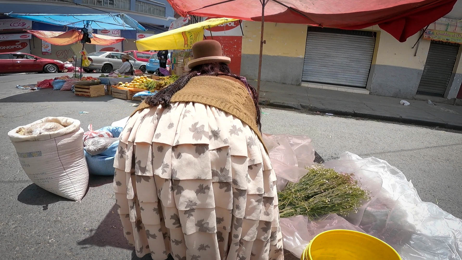
Conchitas wear up to seven petticoats and cook great food in their street kitchens.
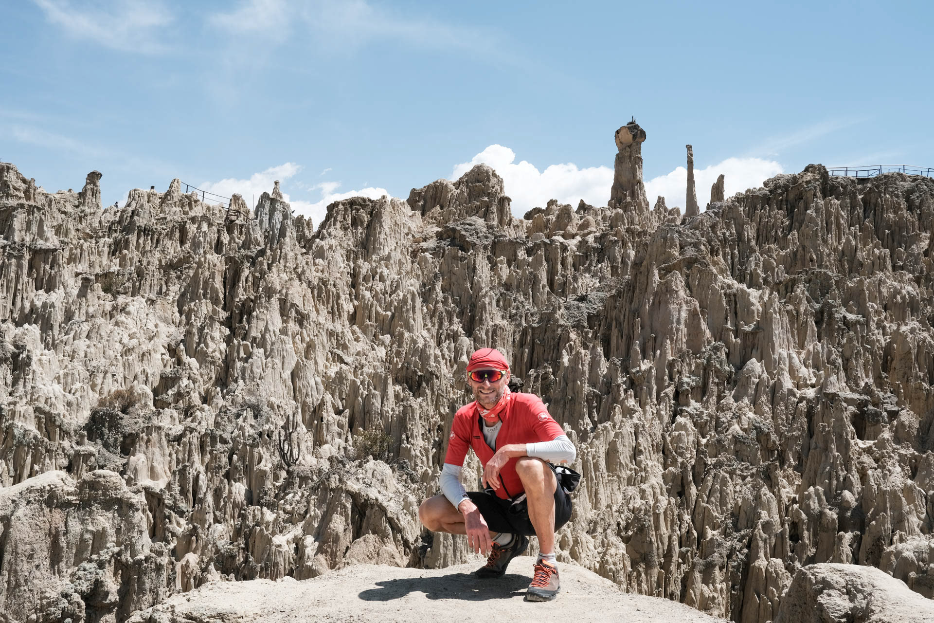
To the south of the city lies the bizarre lunar landscape of the Valle de la Luna.
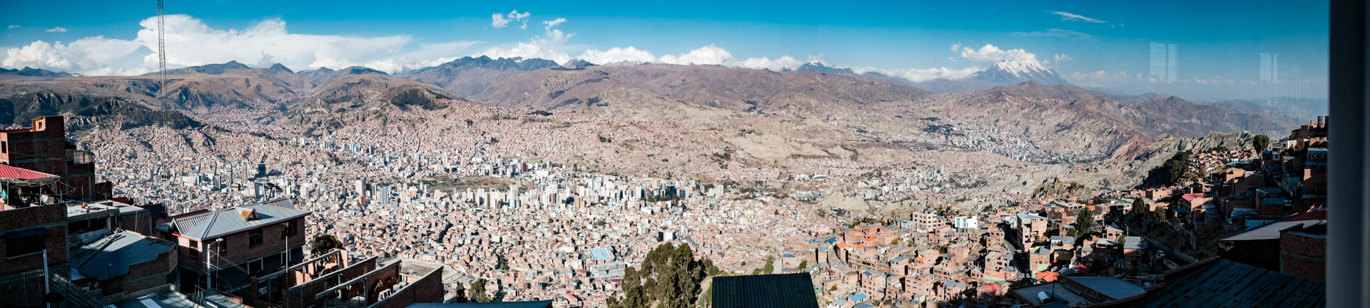
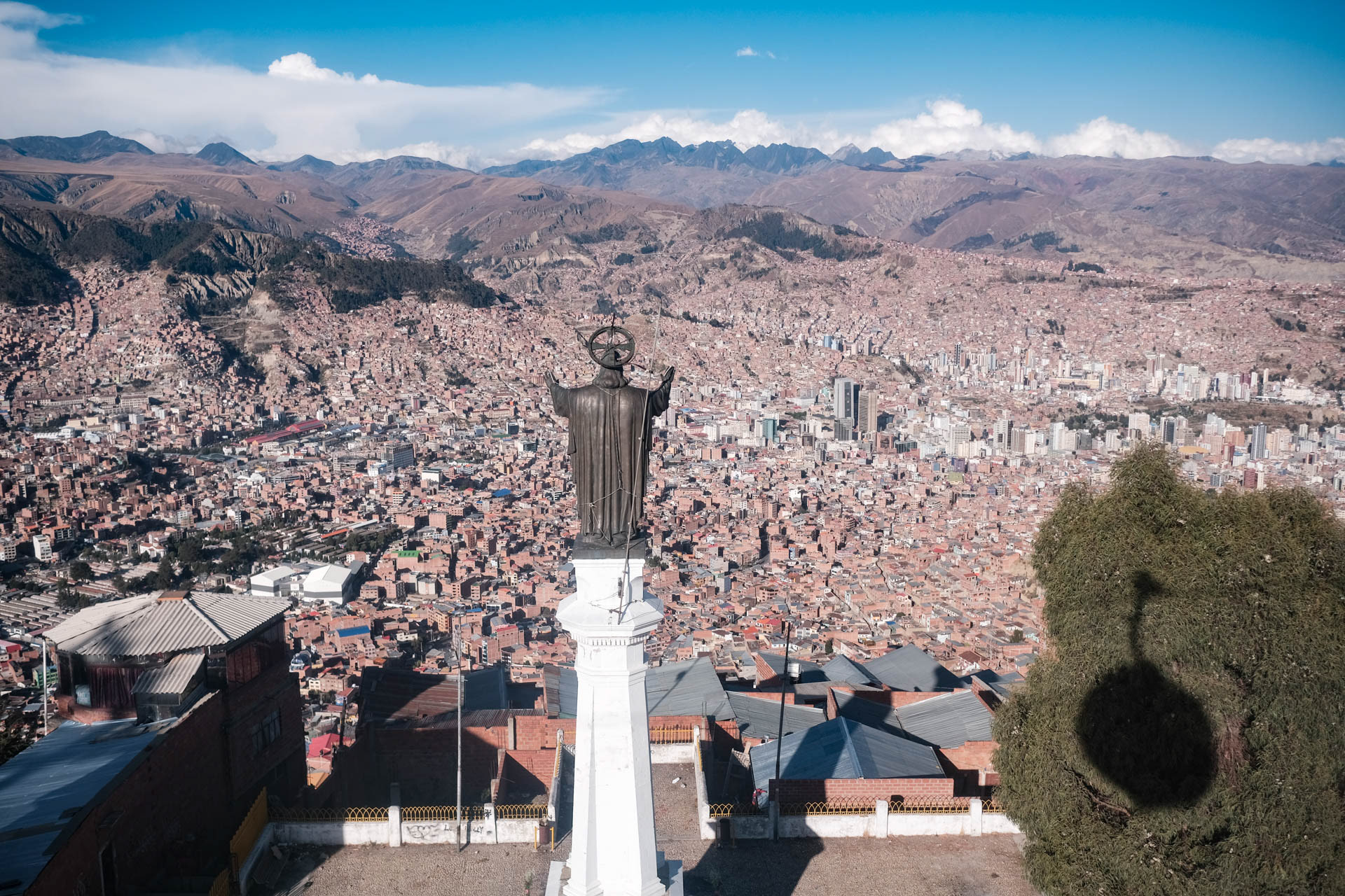
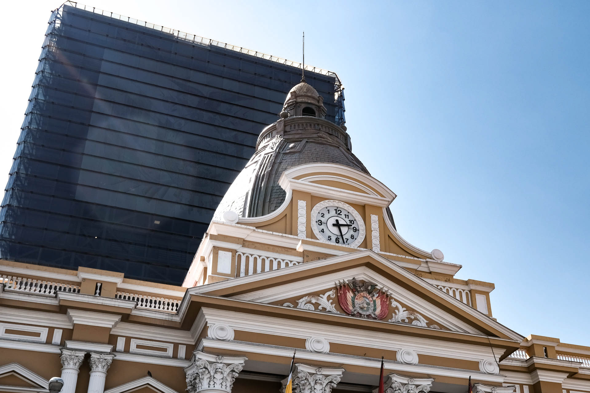
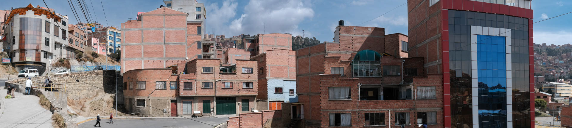
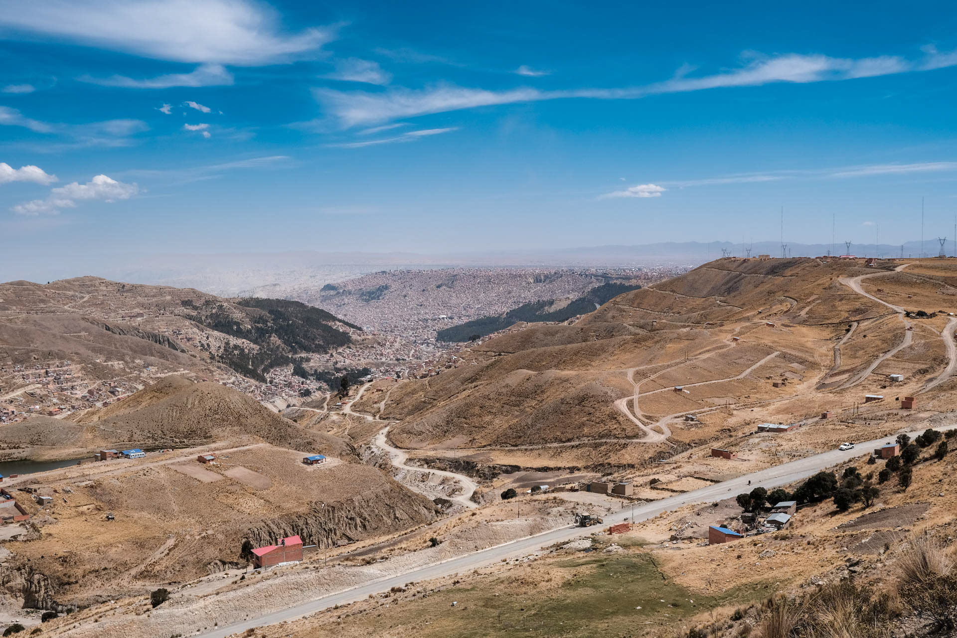
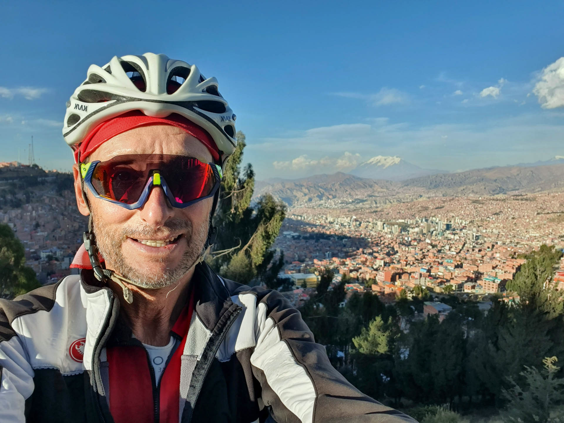
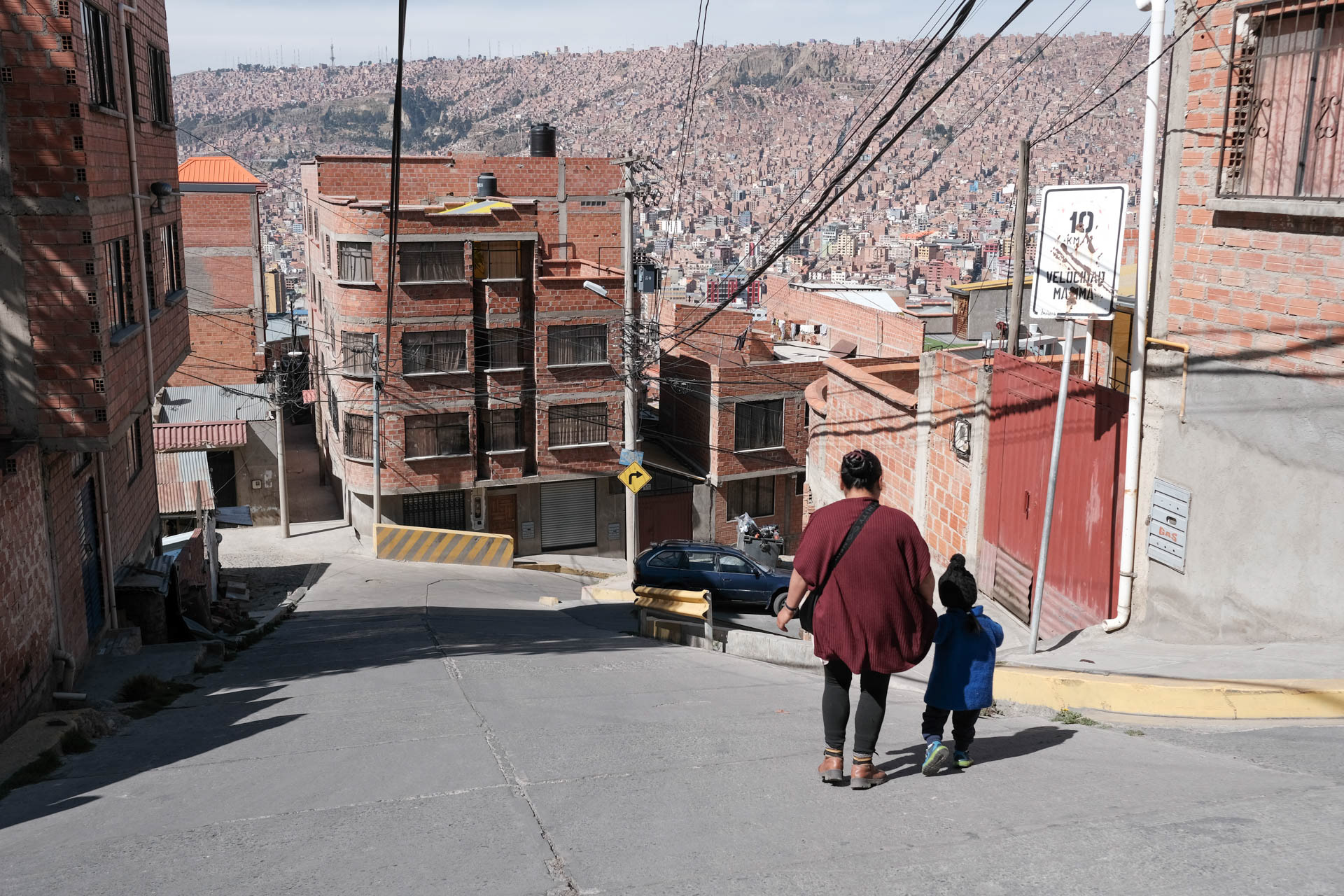
La Paz seen from El Alto.
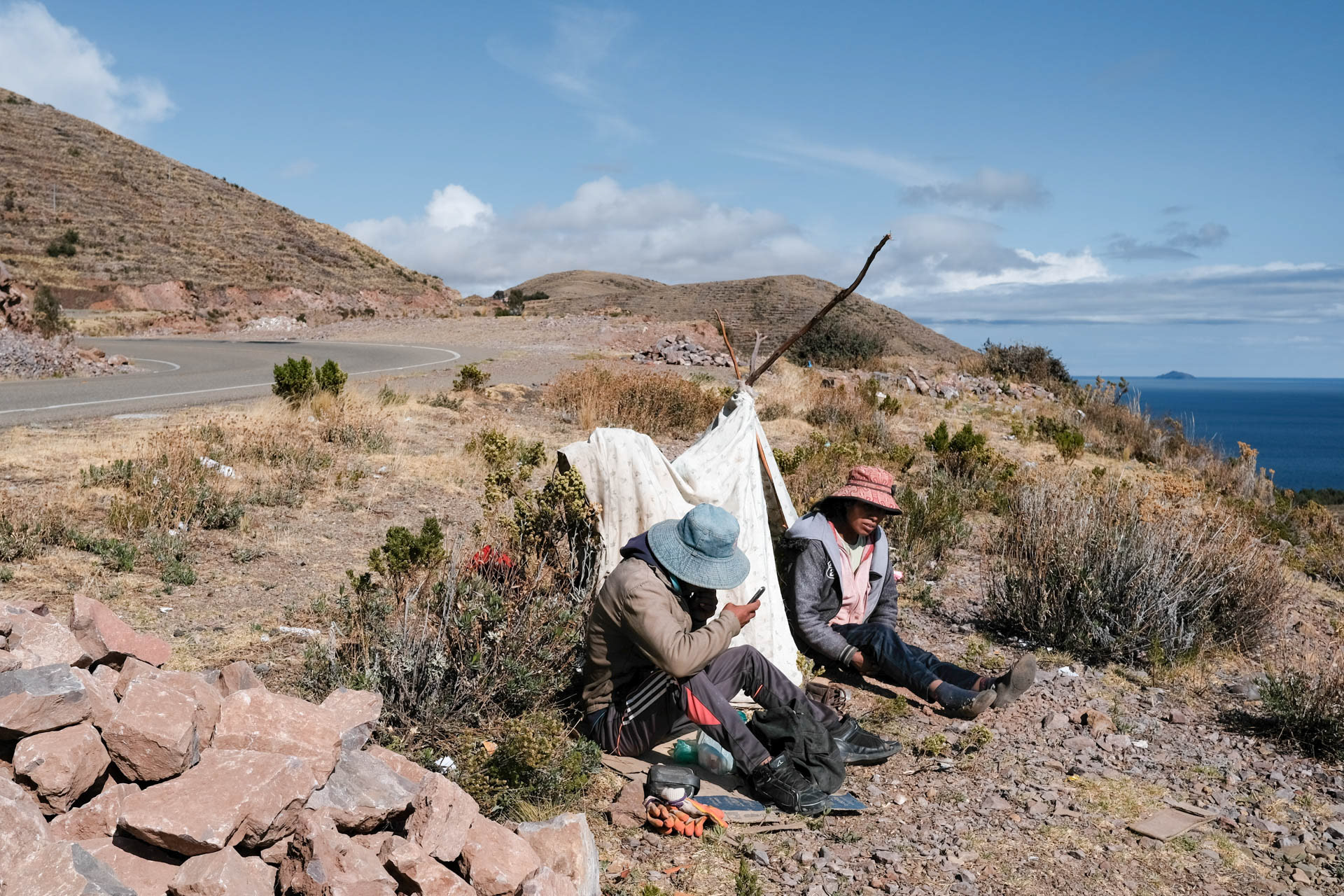
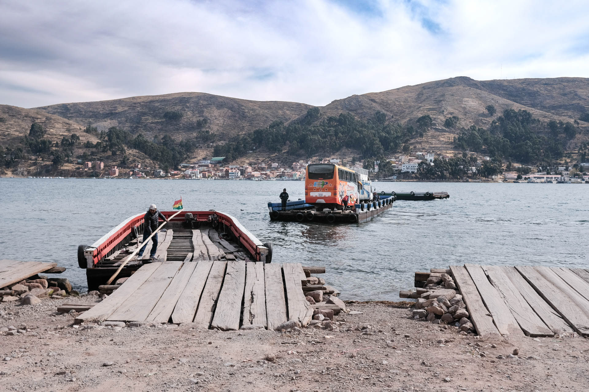
Am Straßenrand bei der Fahrt zum Titicaca See
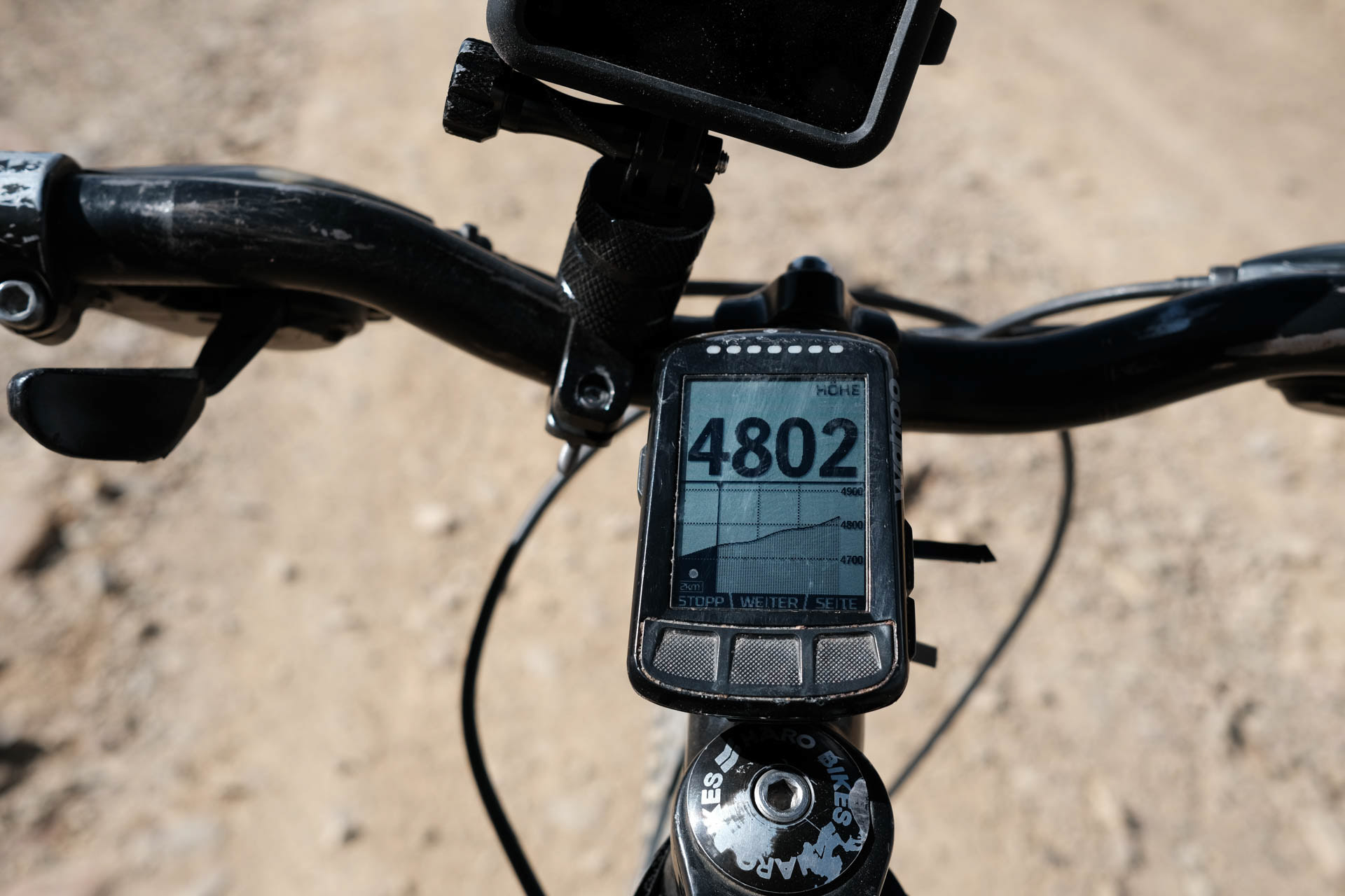
To get to the northwest, I cycle up to El Alto. At 4,200 meters I get off the bike for the first time to drink. From the feeling I am a ninety year old. The measurement of the oxygen saturation in the blood shows a 7 in front. At the halfway point, I ride to a very well rated quarters just after the indigenous village of San Pedro. But there is only the cemetery. Back in the village I ask through for a quarter. There is none, the next one is behind the mountains. But the grocer Rosa has one.
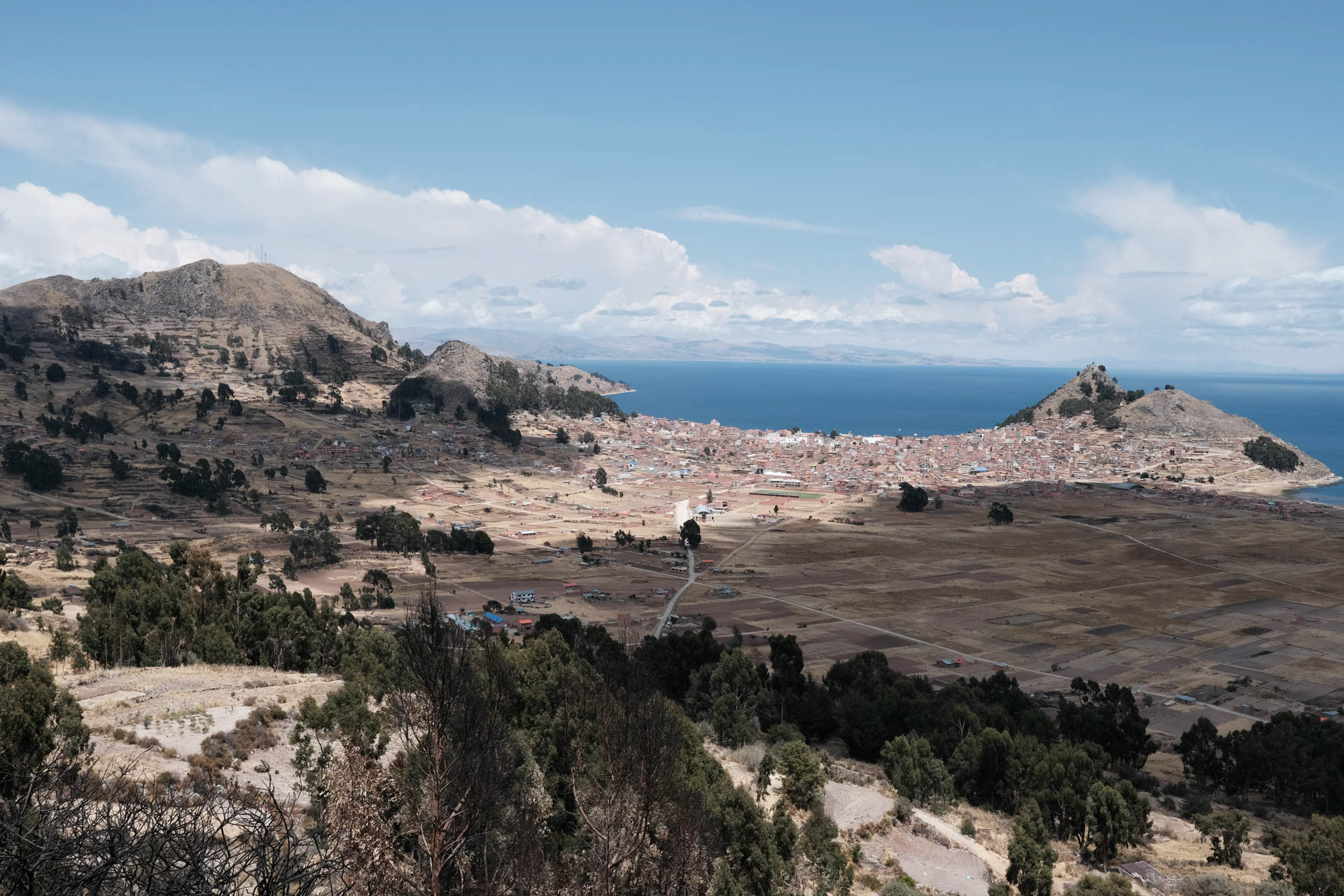
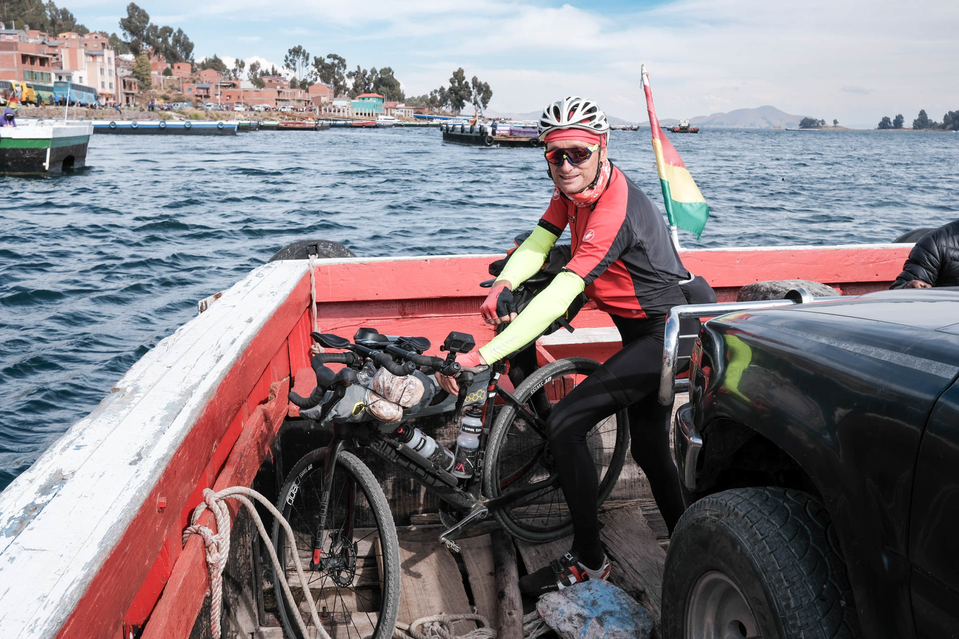
Over the mountains to Copacabana
After the Coca tea for breakfast follows a great pass crossing with constant views of the lake. On the floating Islas Flotantes de Chañi, the owner catches the fish right in front of me, her sister takes it out and prepares it, her little son brings it to the table.
To Peru and almost not back
I want to get the exit stamp from the same official who already gave me the entry stamp to Peru. But I don't get it, because now the exit stamp from Bolivia is missing. A Brazilian traveler, who speaks a little Spanish, helps to untie the unsolvable knot.
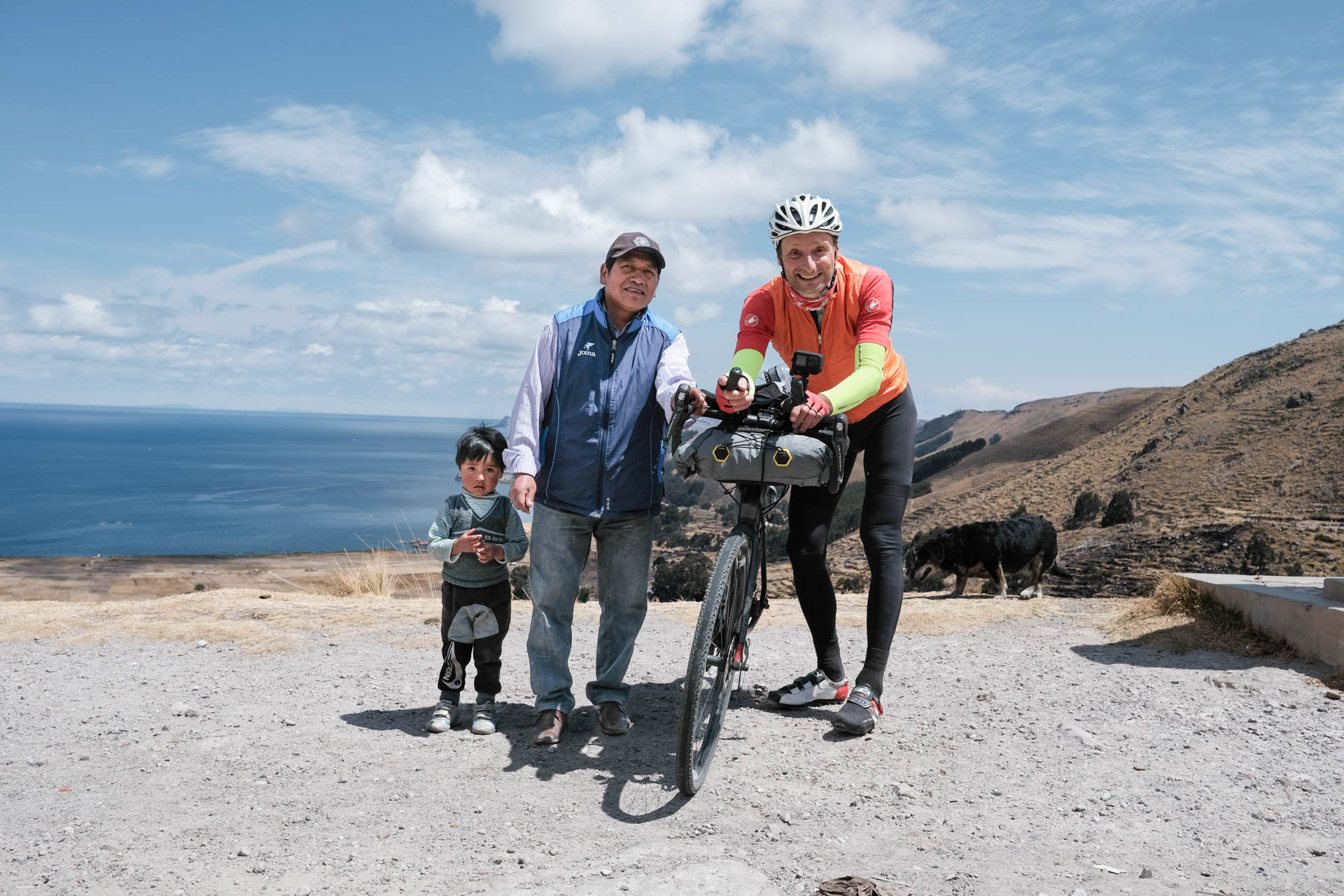
On the ride from La Paz to Lake Titicaca, I meet an indigenous family on one of the many passes.
I find the only room at Rosa, but without heating, water, toilet. Today I have burned as many calories as an office worker in four days. There you are happy about every meal and a lot of Coca leaves.

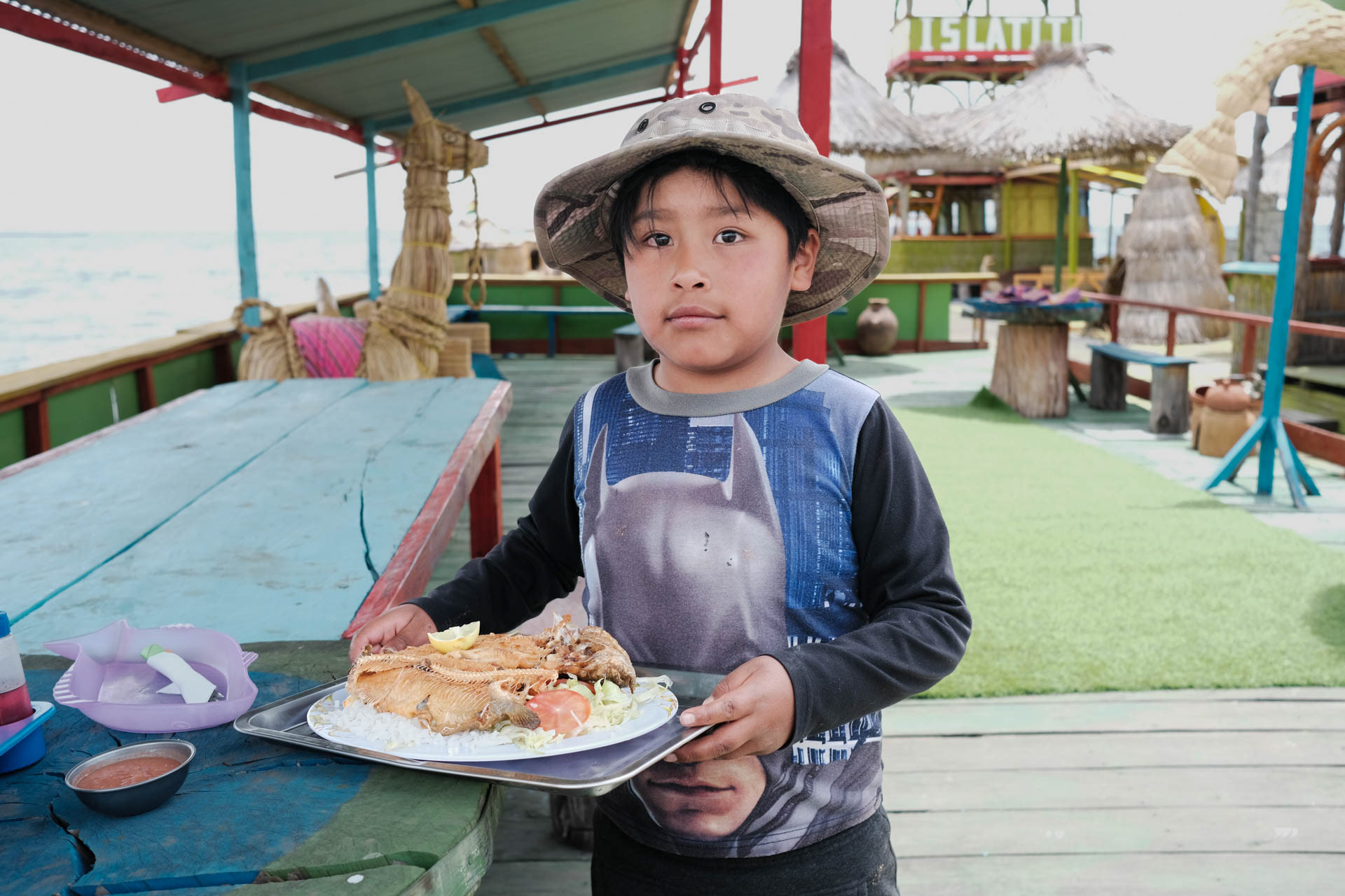
The floating islands offered their inhabitants the possibility to escape to the open lake in case of an attack by the Incas. Today I eat there wonderful trout, which I can choose directly when fishing.

Das Indigenendorf Putre im Altiplano, eine der einsamsten Gegenden der Welt
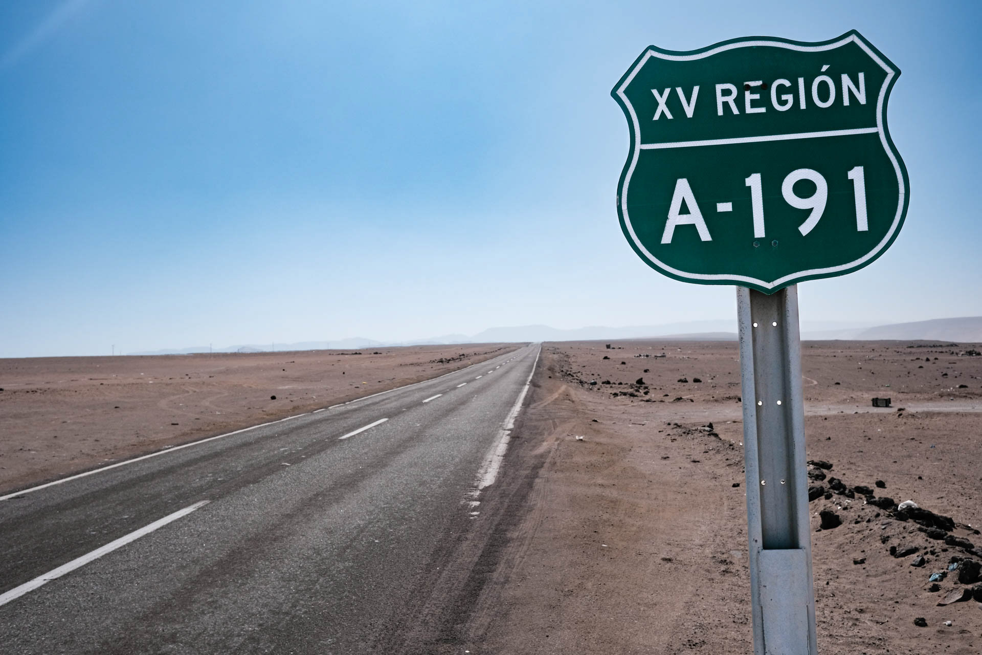
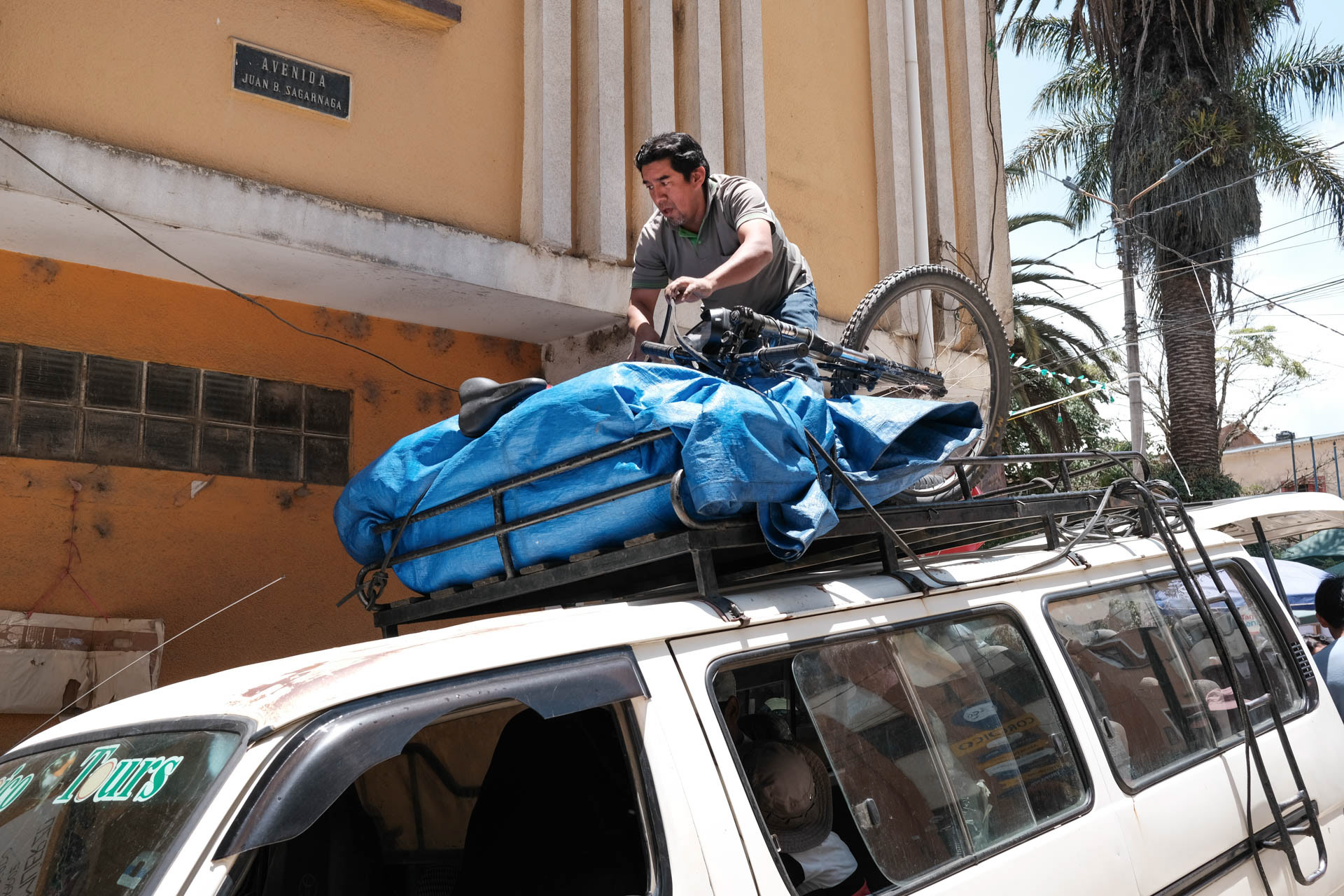
At four o'clock in the morning I cycle from my lodging in La Paz to the bus station. At the border to Chile we all have to get off, including the bike. The drug dogs come, we are searched. The fear of drug smugglers is great and the Saltpetre War between Chile and Bolivia at the end of the 19th century has not yet been forgotten. Through it Bolivia lost exactly this sea access, which I will cycle up tomorrow.
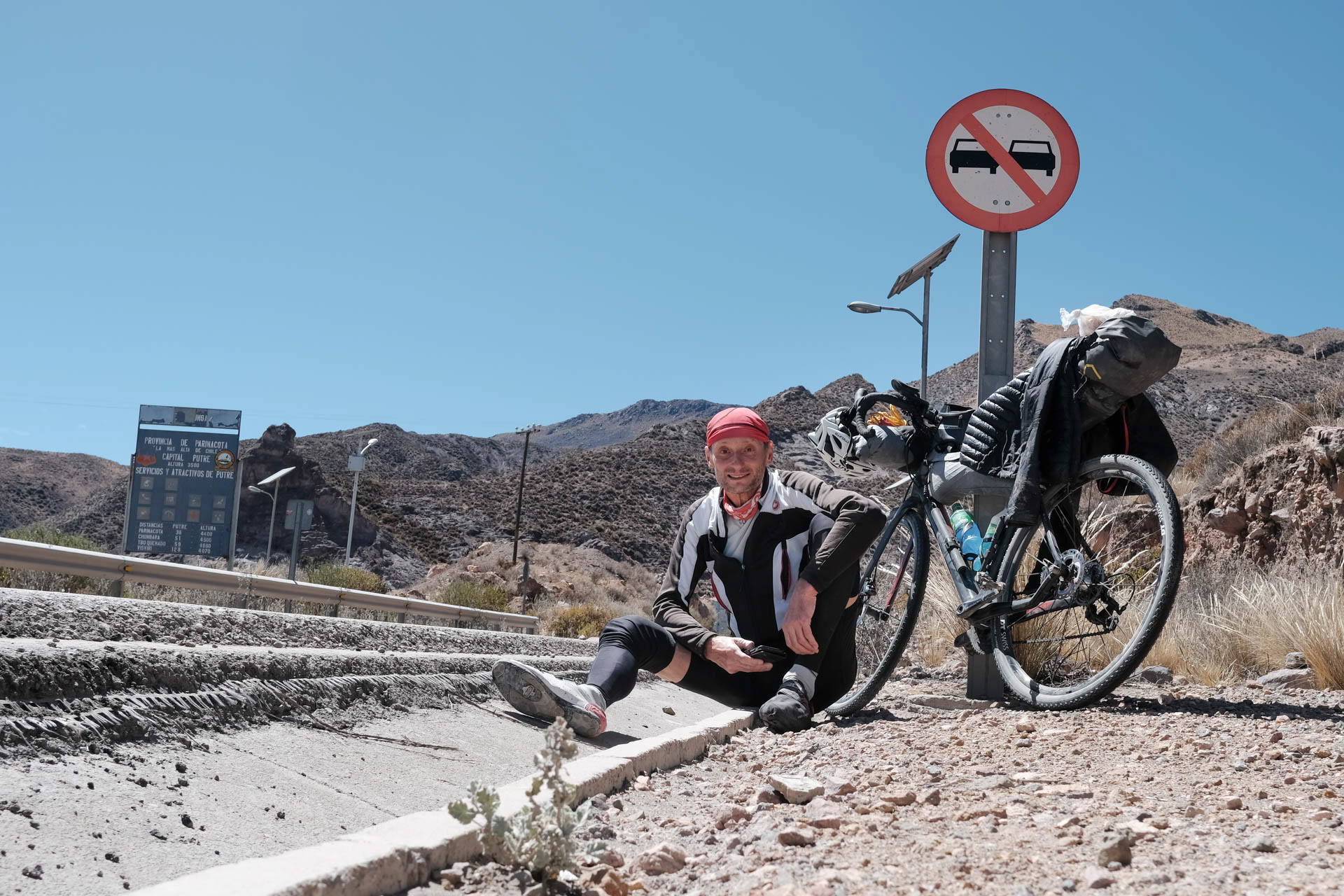
On the morning of the ascent, breakfast is already prepared as promised, but unfortunately already eaten by someone else. Twelve hours of driving up through uninhabited territory with an empty tank is not easy. Already after a few hours I can hardly hold on to the wheel, the chills are getting too strong. Yesterday's meal in a shopping mall shows its effect. I stop a pickup truck with workers and am able to ride up to the construction site. Somehow I reach my accommodation in the indigenous village of Putre, the only settlement along the 200 kilometer long climb. I drag my bike and myself up the iron stairs and just want to sleep.
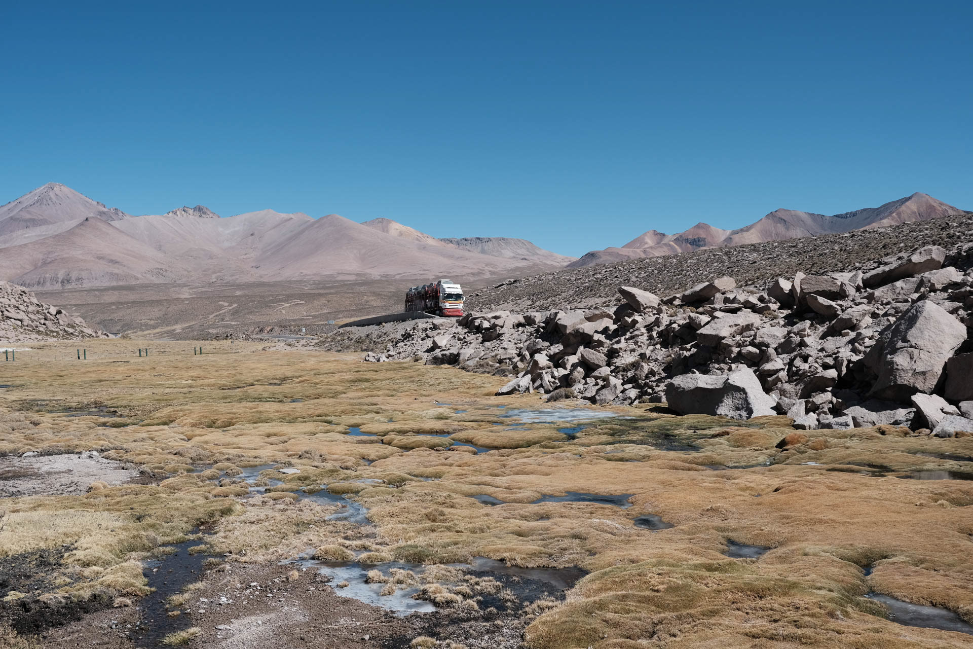
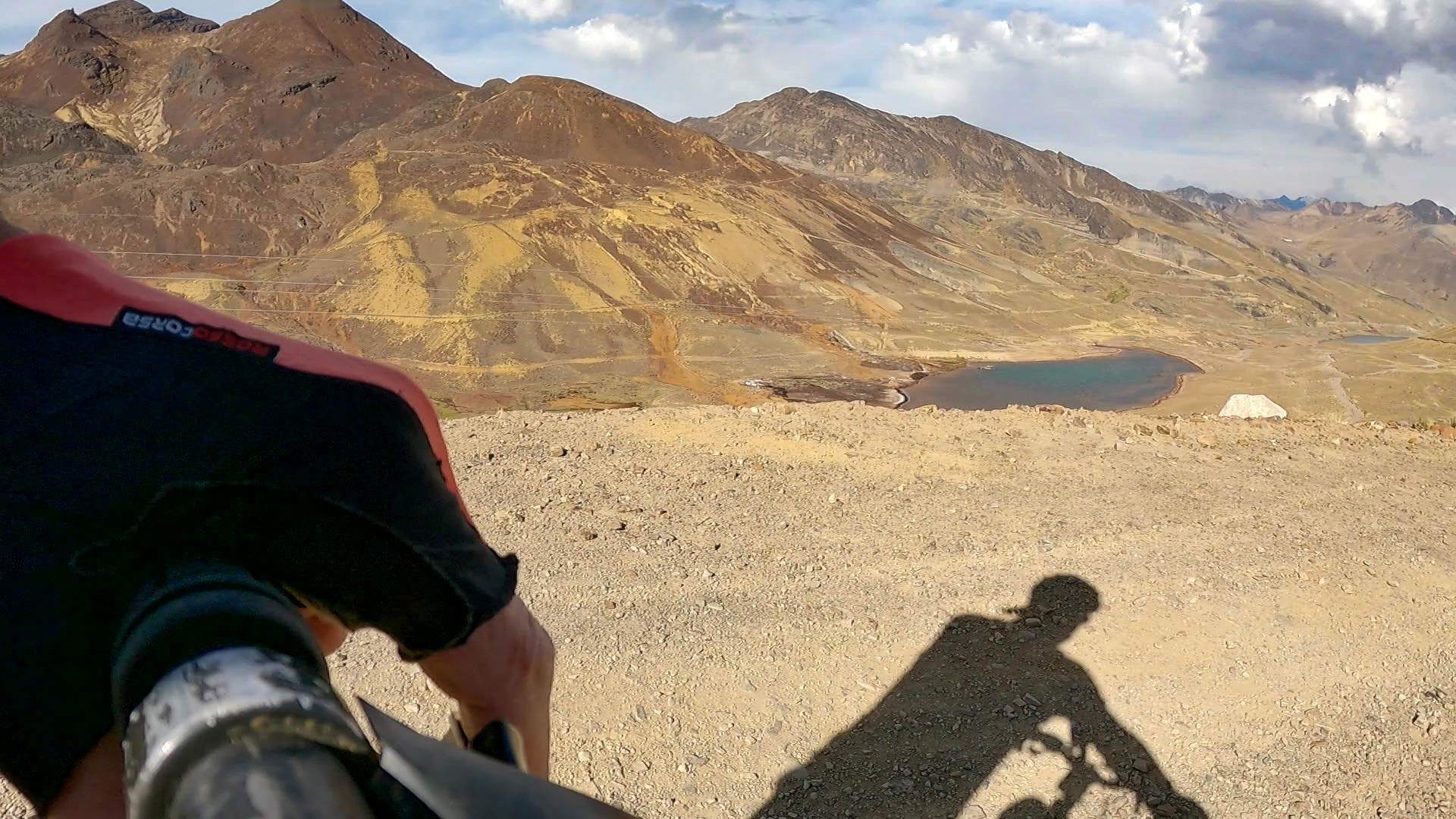
The next day I feel better and ride to Lago Chungará, 60 kilometers away, which is one of the highest lakes at an altitude of almost 4,600 meters. Six volcanoes surround it, the Parinacota is the highest with its 6,200 meters.
Now I've been sitting on the side of the road for four hours waiting for my bus back to La Paz. Maybe I got the stop and the time right. I don't have a cell phone network to call the operator.
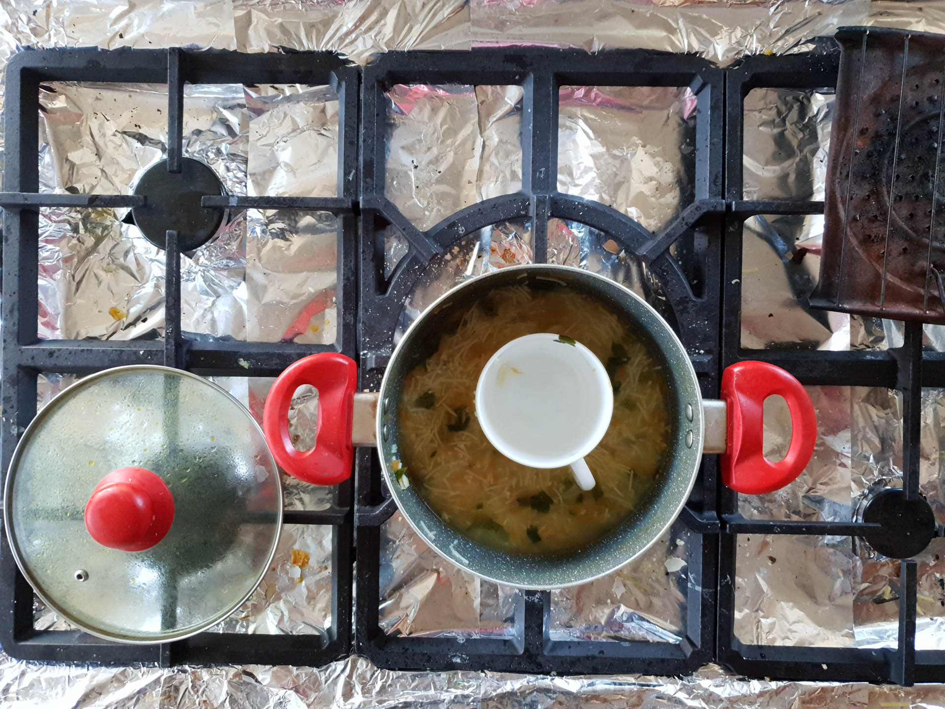
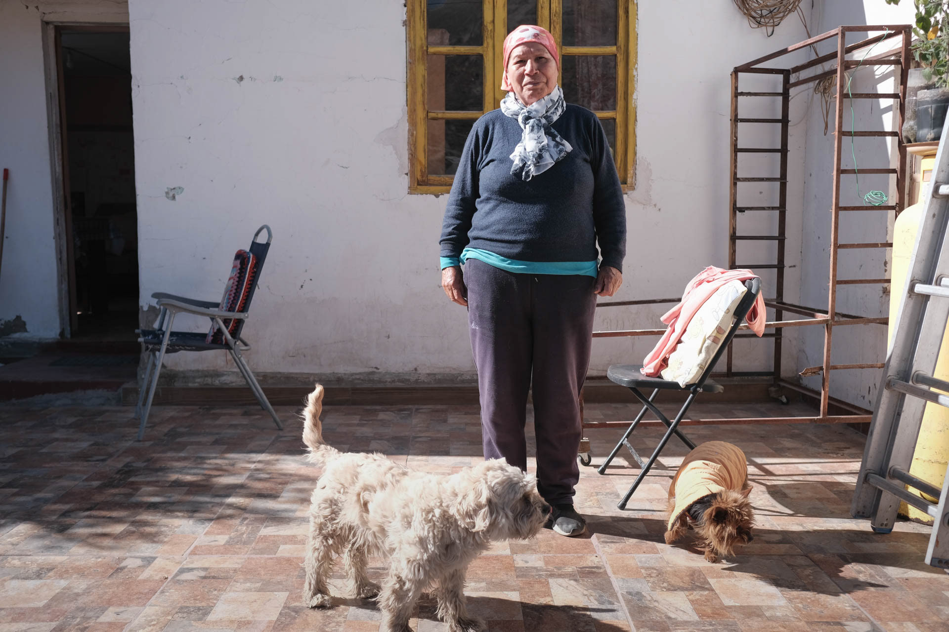
On the way up from Arica I get strong chills on the bike. A pickup truck with workers carries me along a part of the climb. I stay overnight with an indigenous family and Willka makes me great chicken soup.
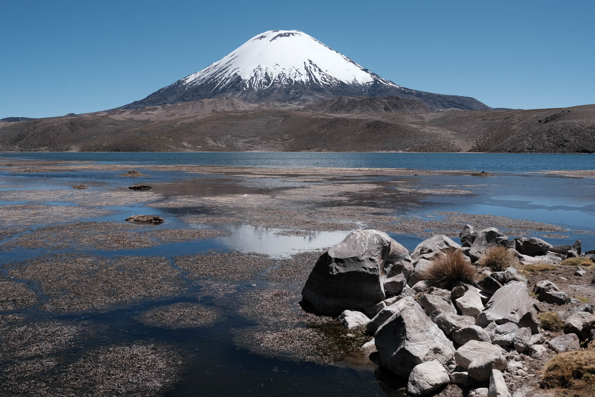
Chile's Lago Chungará is one of the highest lakes in the world. It is surrounded by six large volcanoes that reach up to 6,200 meters.
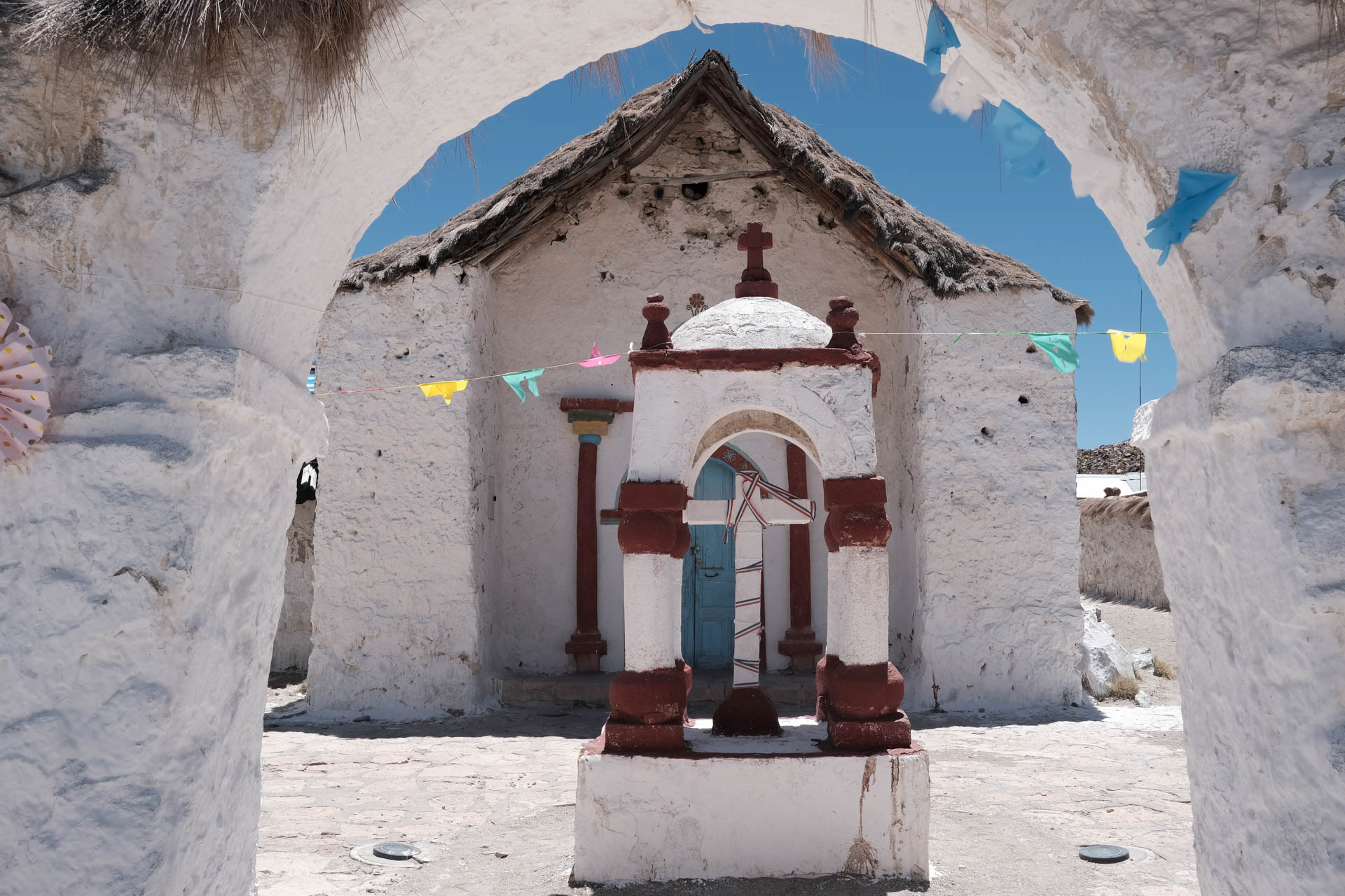

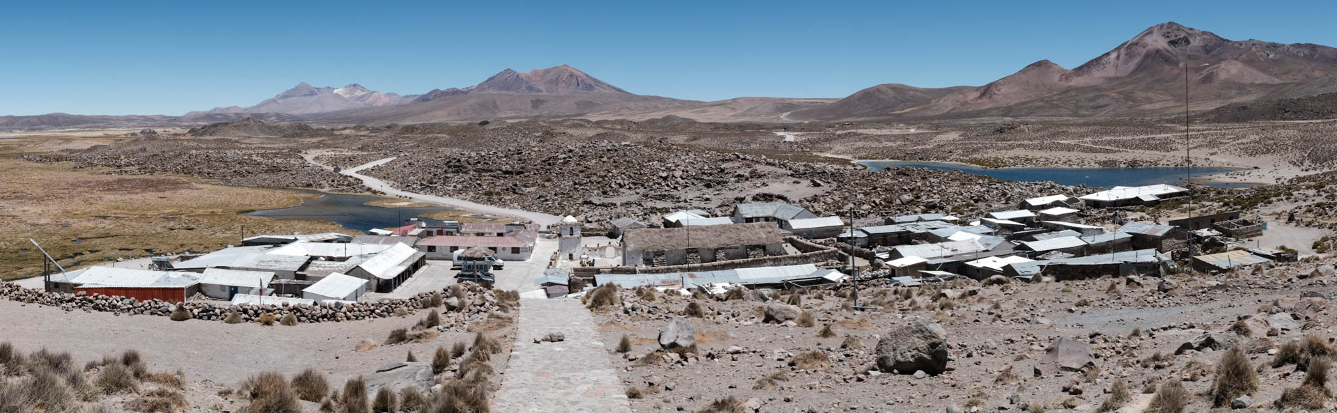
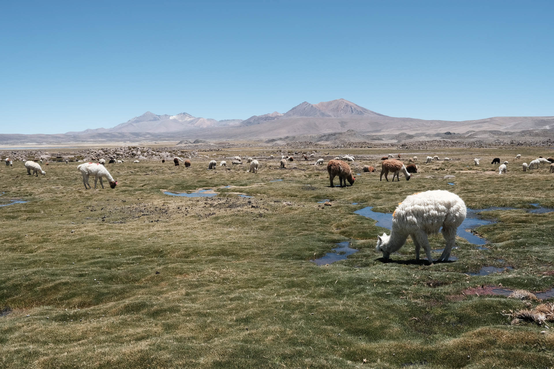
The tranquil village of Parinacota on Lago Chungará has two inhabitants, a school with two out-of-town pupils, a famous church and public Wi-Fi.
I hope the bus to La Paz really stops at the junction to Putre. To be able to stop him in time, I sit down on the road. After four hours there really is one, but unfortunately the wrong operator.
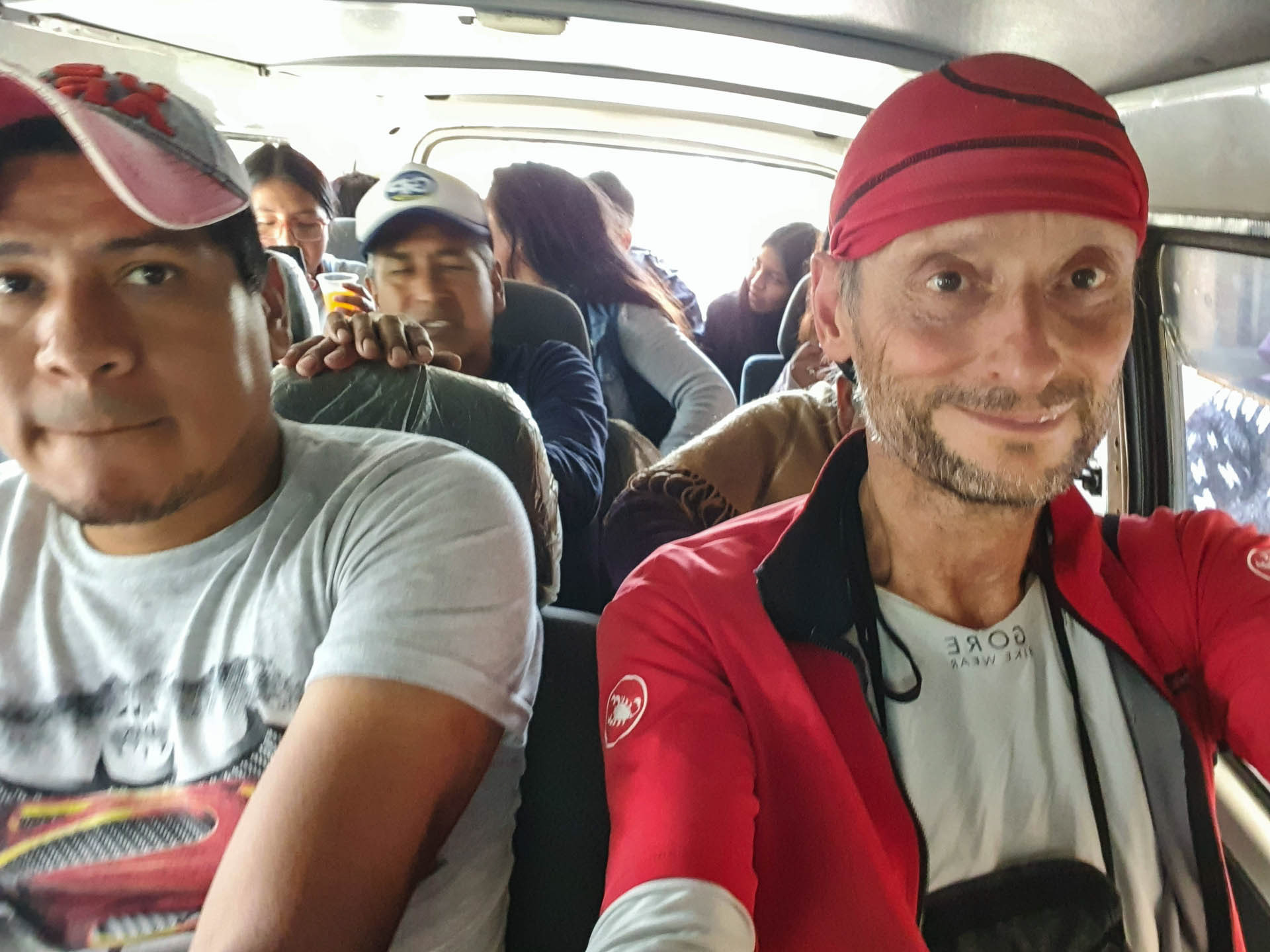
At nightfall it becomes freezing cold in the night bus in the first row in front of the panoramic window. I put on all the clothes I have with me, soon I collect free blankets from the sleeping people. Nevertheless I cannot close an eye.
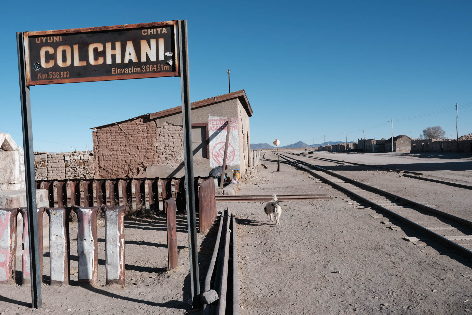
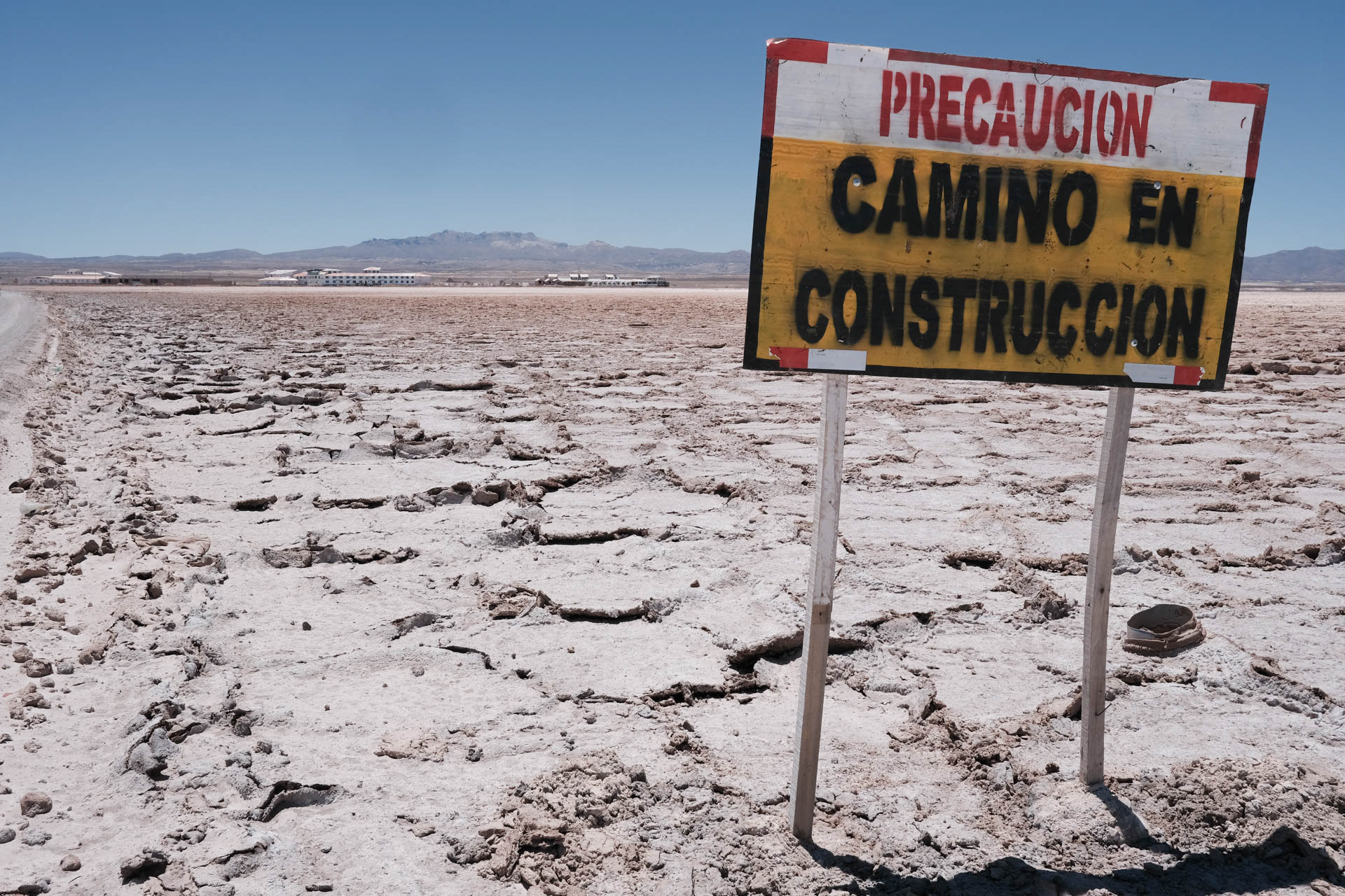
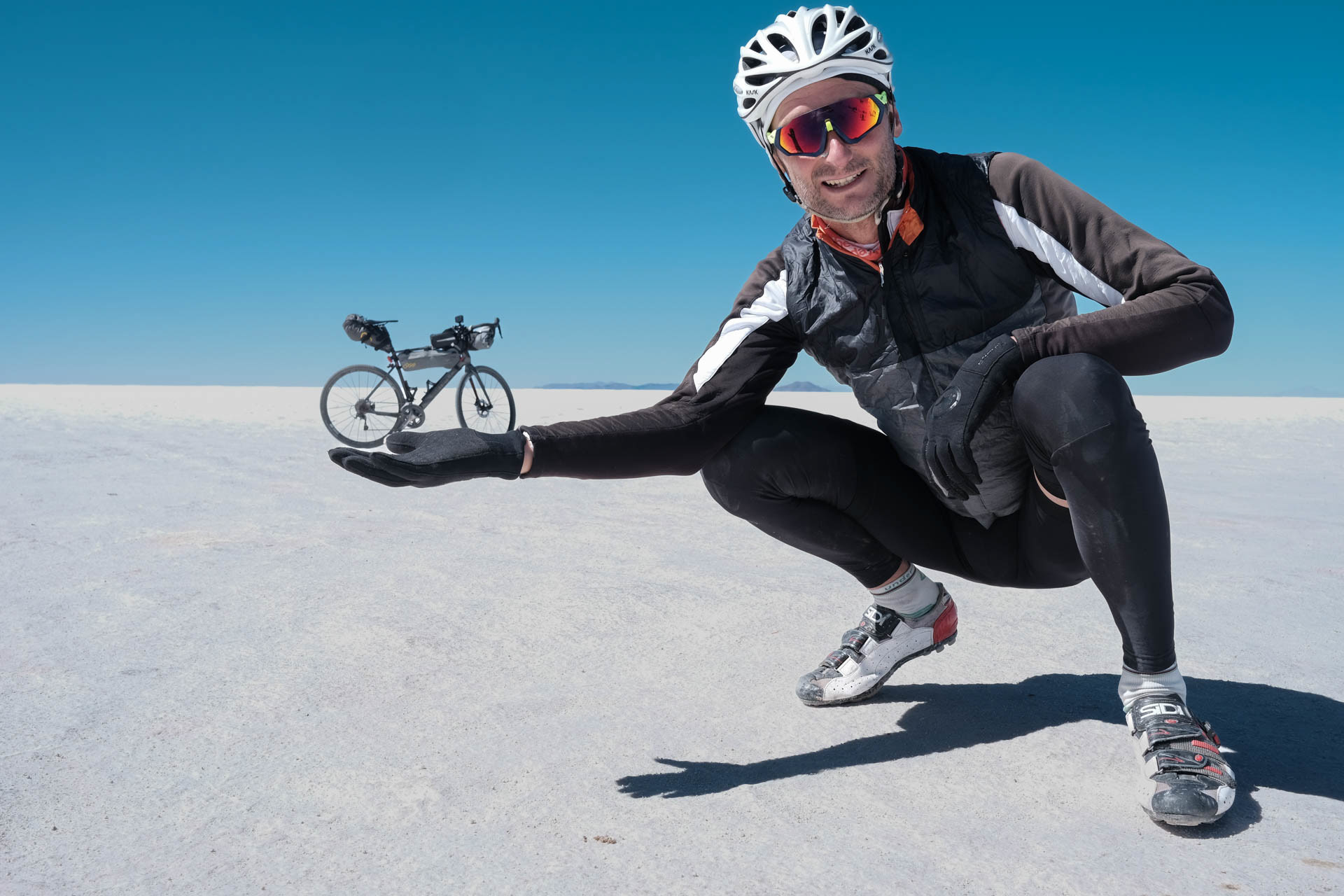
The place Colchani reminds of a ghost post, the only store with a chance for a coffee is still closed at six o'clock in the morning. The entrance into the Salar is breathtaking. In prehistoric times, there was a lake here that dried up and left the salt on an area of 10,000 km2. I have the feeling of hovering above this salt. The holes in the salt crust are the tricky part.
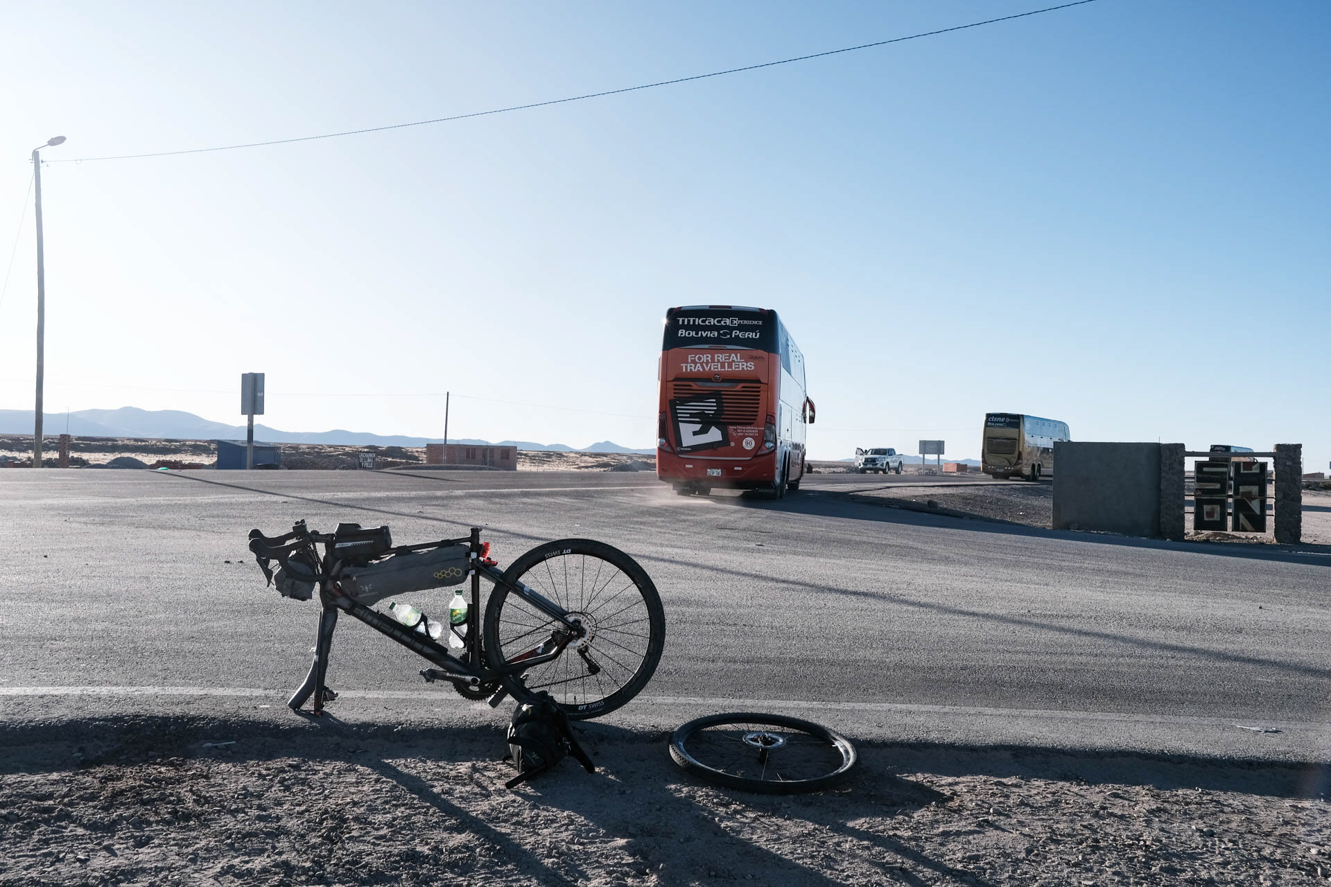
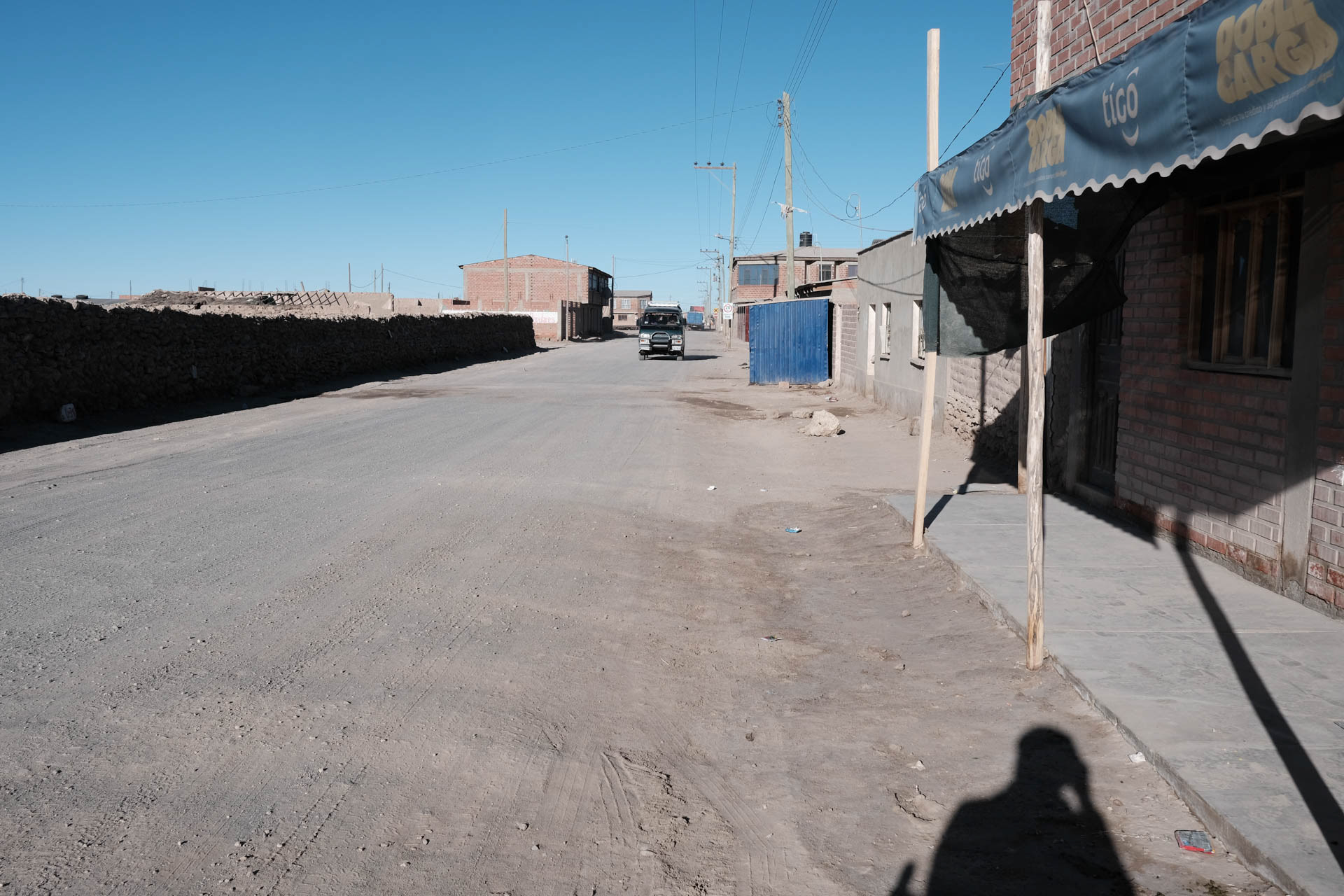
After the freezing cold night in the bus, the driver lets me get off in Colchani. Directly at the Salar de Uyuni.
There's no coffee here.
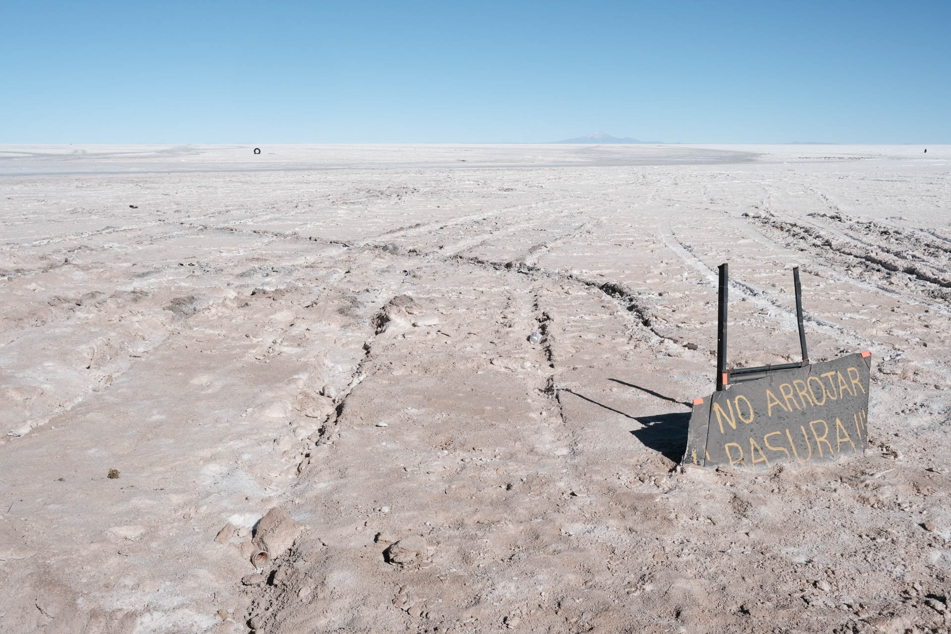
The Salar de Uyuni is not only the largest salt lake on earth, but also holds the largest lithium reserve.
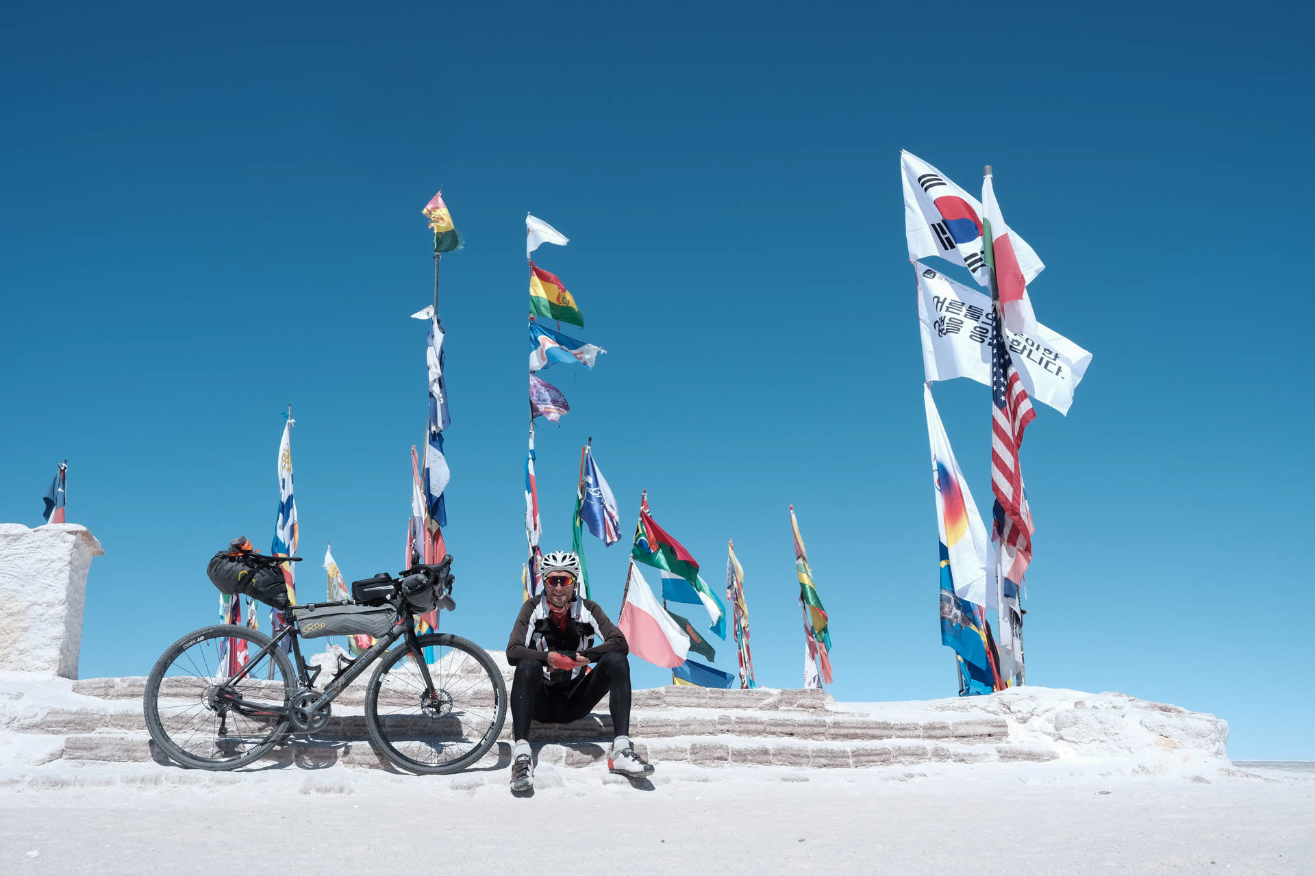
In the middle of the lake is the meeting place for adventurers who cross the salt lake. At the flags I meet a group of motorcyclists, then on the way out I meet two touring cyclists.
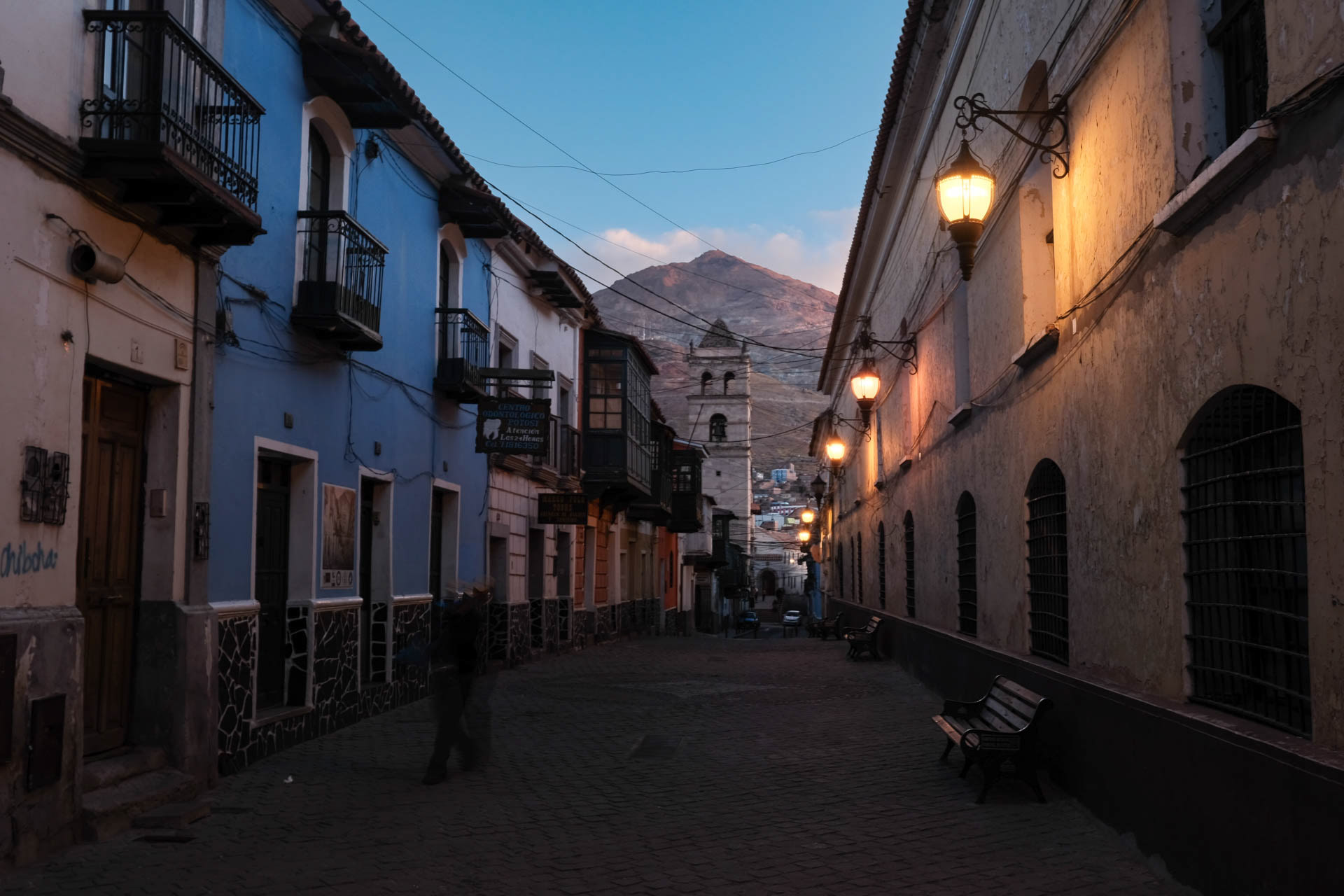
Indigenous people had to mine the largest silver deposit in the world for the Spanish occupiers in the 16th and 17th centuries. Today, the life expectancy of miners is 10-15 years after their first entry. Potosí is a wonderful city, but the mountain crushes me.
Riding to Bolivia's birthplace and return to La Paz
Many see Sucre as the most beautiful city in Bolivia. I am also impressed by the colorful university town with its white houses, great cafes and the Mercado central. During the night drive back to La Paz I sit this time in order not to freeze in the lower floor, right next to the toilet. The door cannot be closed, the flush does not work, and the toilett is used havely by all travelers. Also otherwise the bus drives rather rickety the night through the steep serpentines up and down.
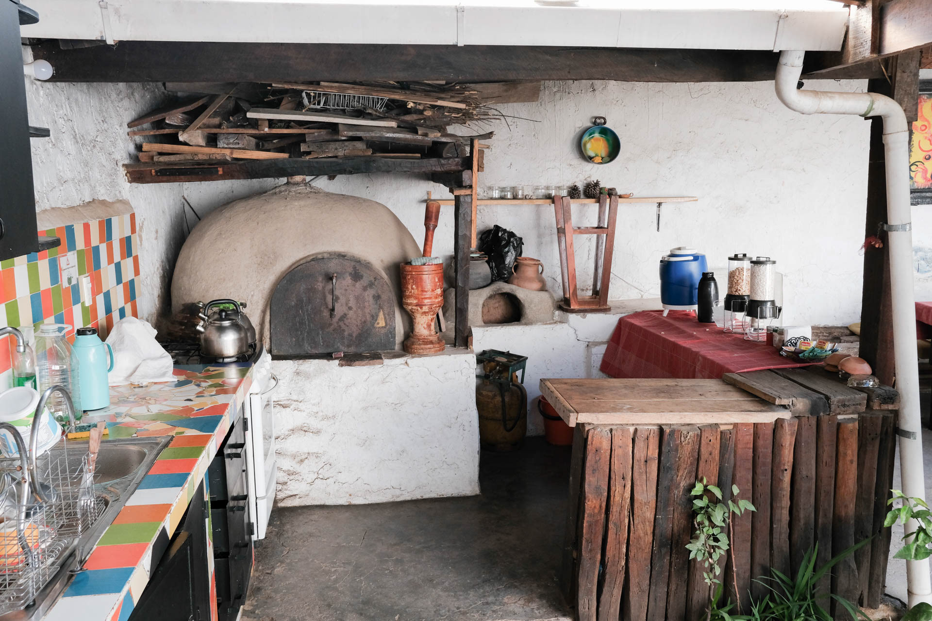
Breakfast buffet at my lodging in Potosí.
China and Russia make their vaccine available to many people in Africa, Asia and South America. The European manufacturer Biontech generates a profit of 10.3 billion euros in 2021.
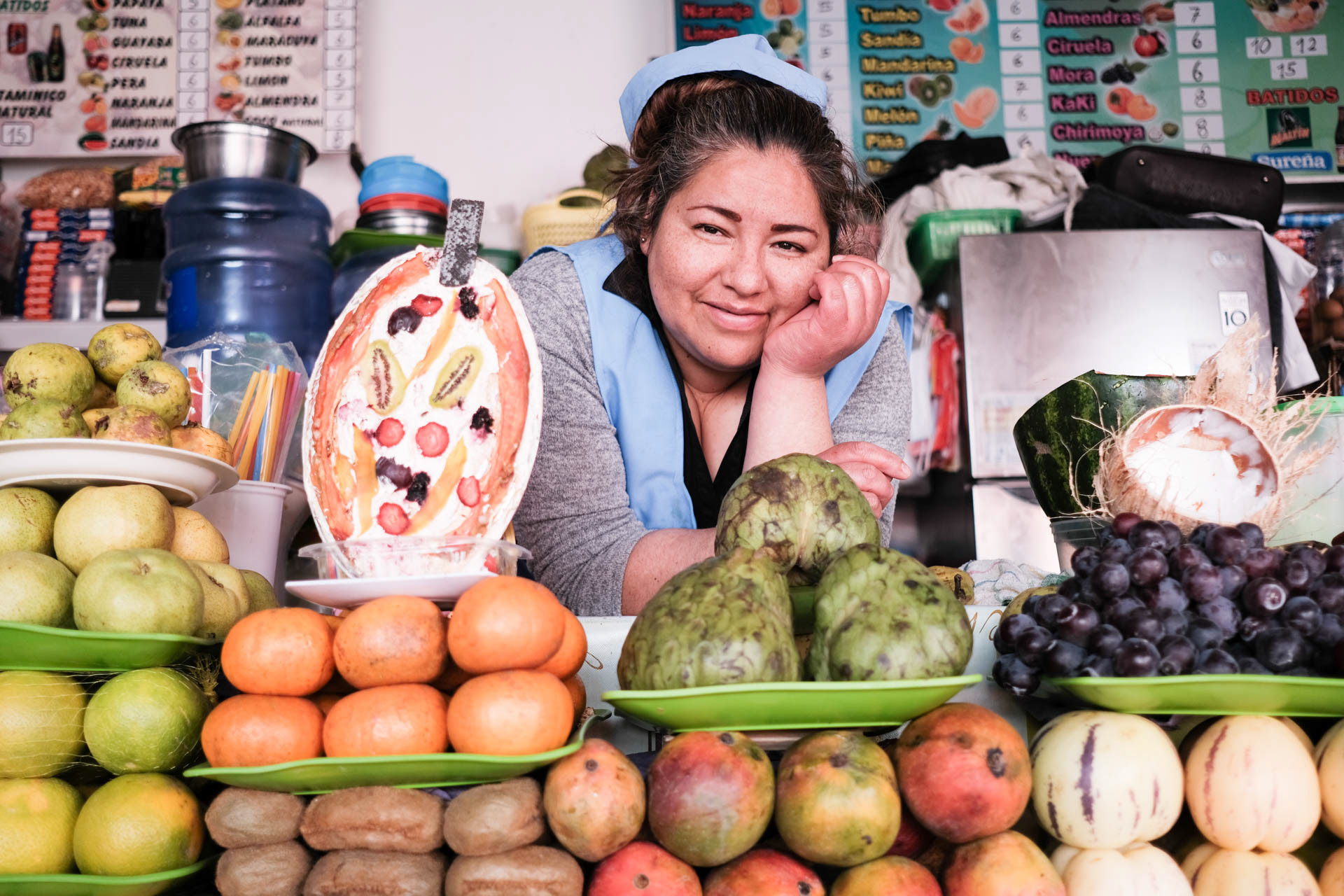
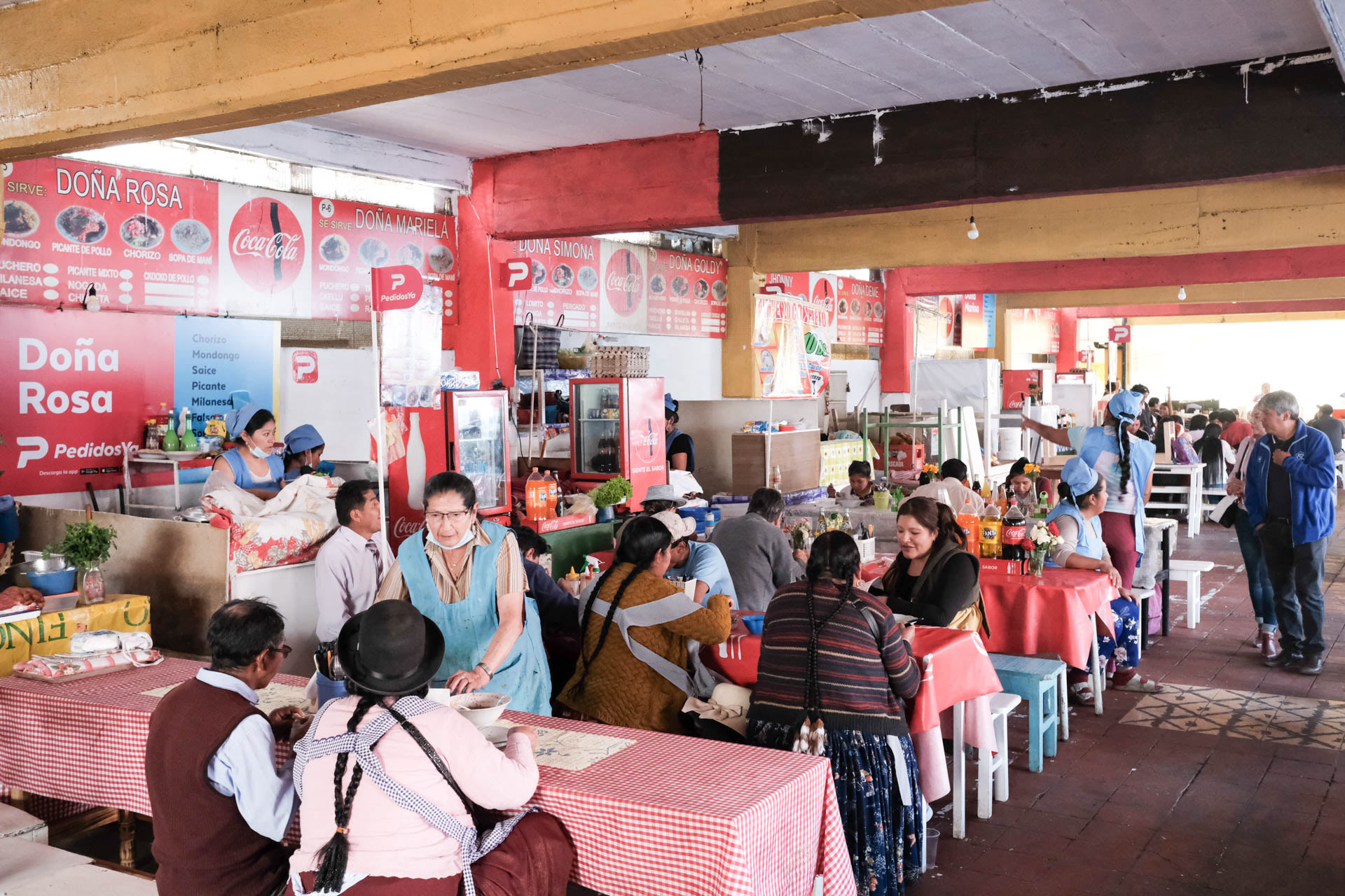
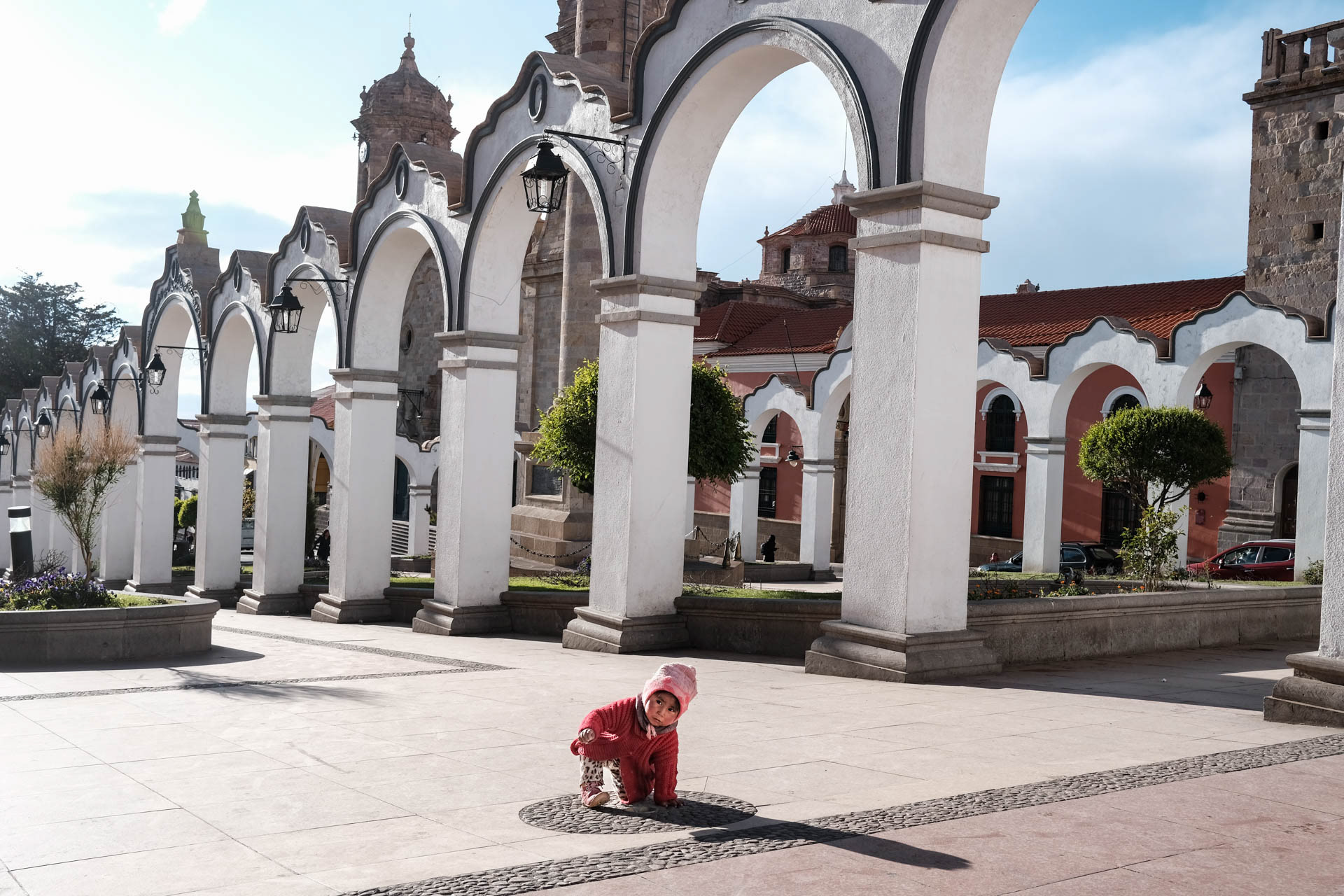
On the second floor of the Mercado central in Sucre, conchitas cook wonderful lunch menus at their stalls. Also always in a vegan variant. There are no tourists here.
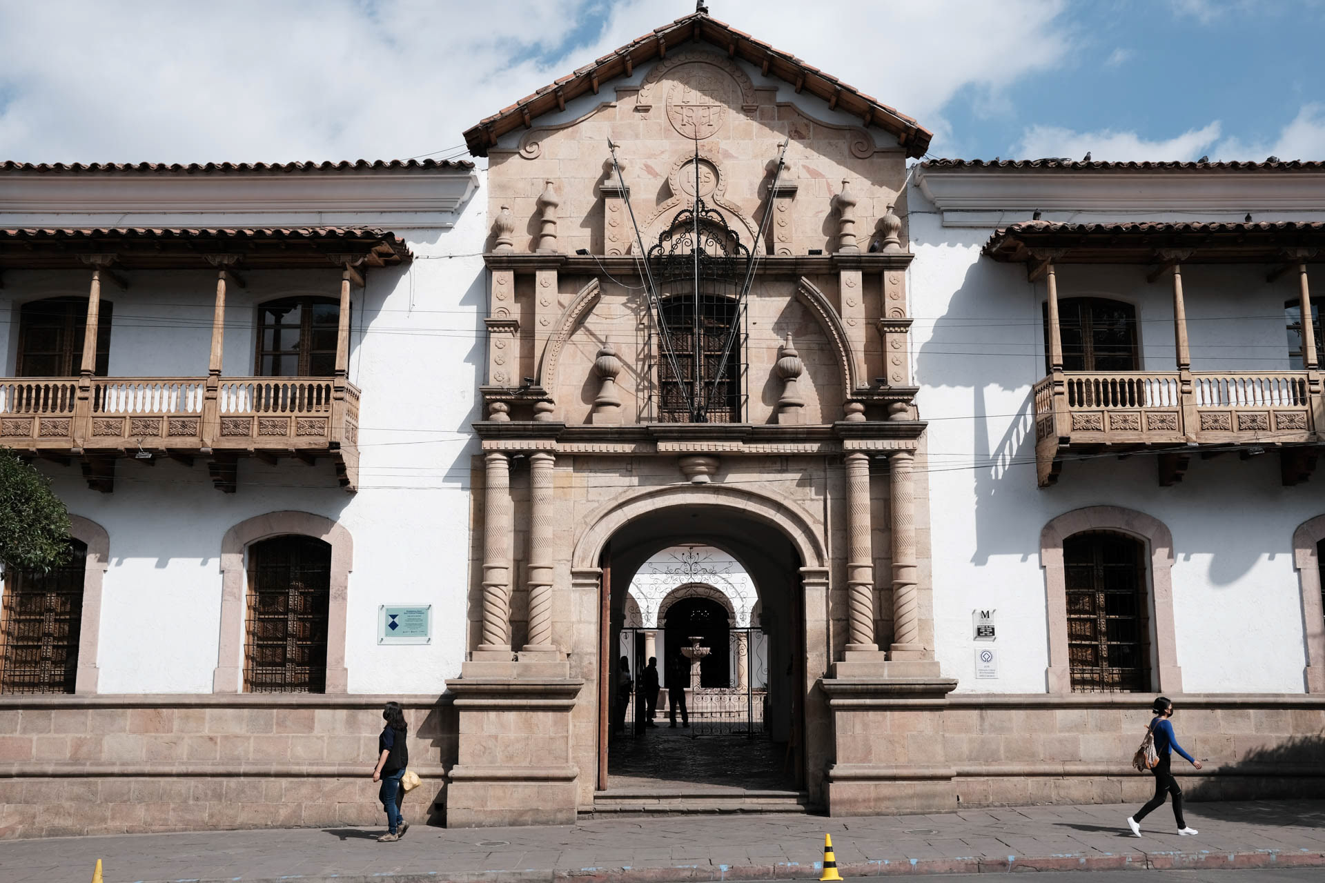
In 1825, the country's independence from Spain was signed here. Sucre is still the capital of the country, La Paz the seat of government.
Before taking the night bus from Sucre back to La Paz.
At La Cumbre at 4,700 meters I meet shamans with their llama foetuses, who point me the right way. After the tunnel comes heavy rain and hail, which continues for the remaining hours to the animal shelter.
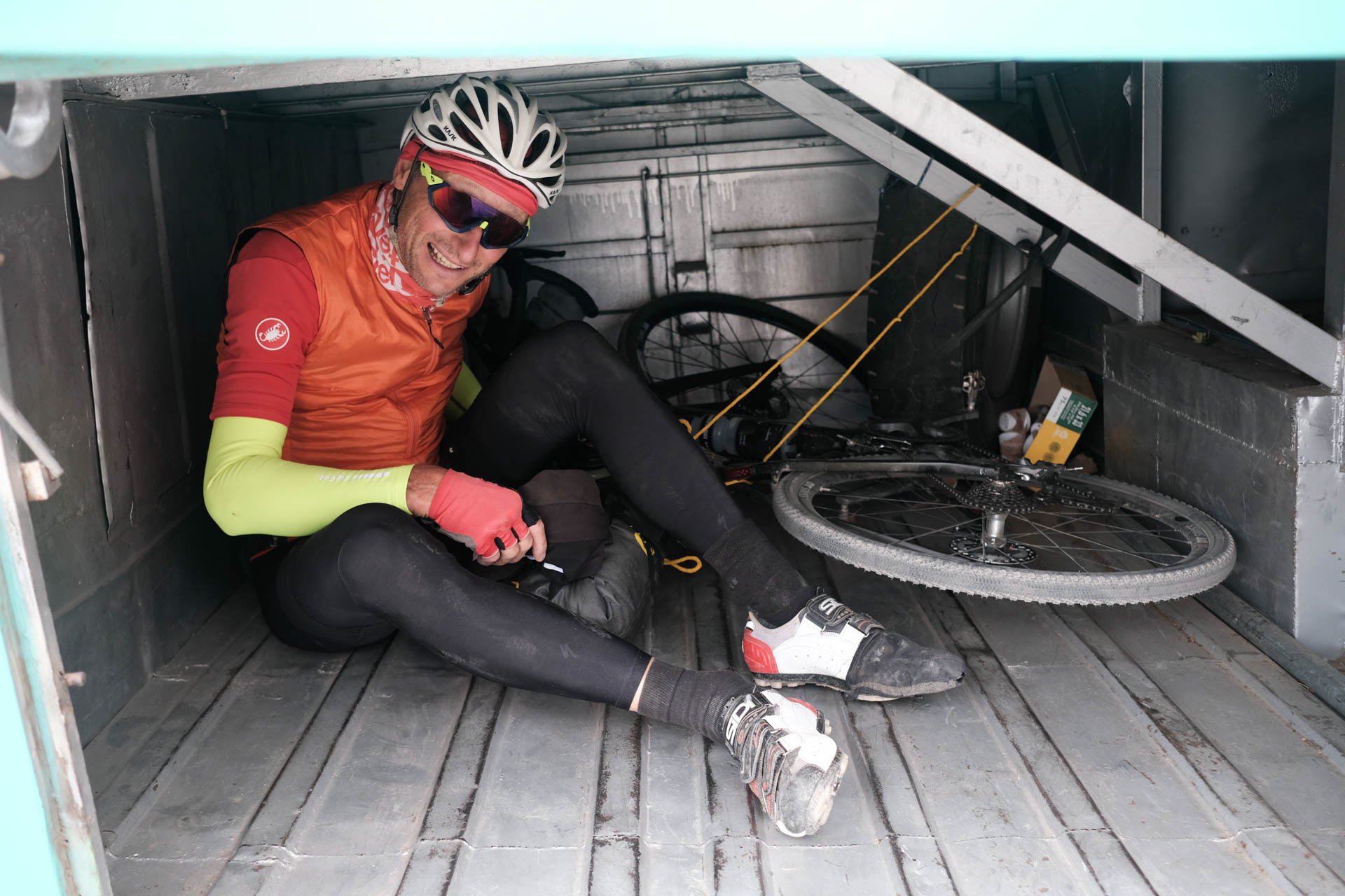
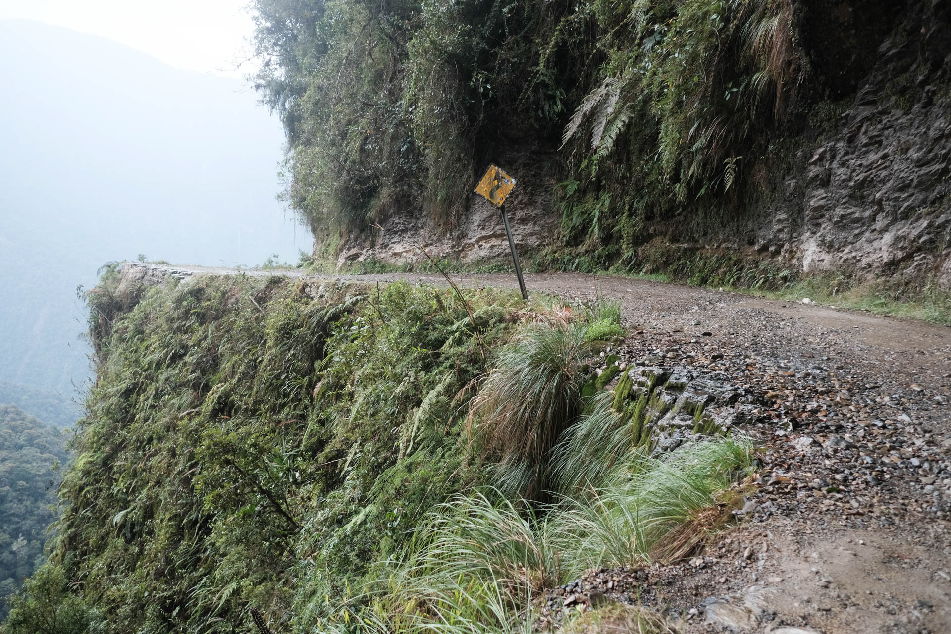
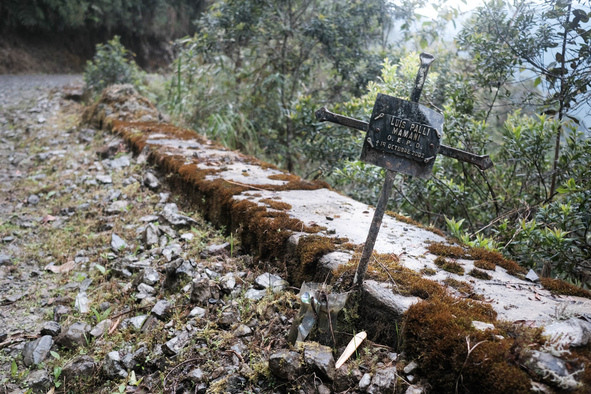
Sometime after La Cumbre, there is a turnoff on the right into the dirt road of Yungas Road. It was built in the 1930s by Paraguayan prisoners of war. Until the construction of the bypass route with its 54 bridges, 200 to 300 people died annually on the Camin de la Muerte, giving it the name Most Dangerous Road in the World. It passes through almost all climatic zones of South America. Left-hand traffic applies on it so that drivers can better see the heavily exposed carriageway wheel, which is rarely protected with guard rails. At some point I arrive in a small village near Coroico and look for the shelter where I should have a place to sleep.
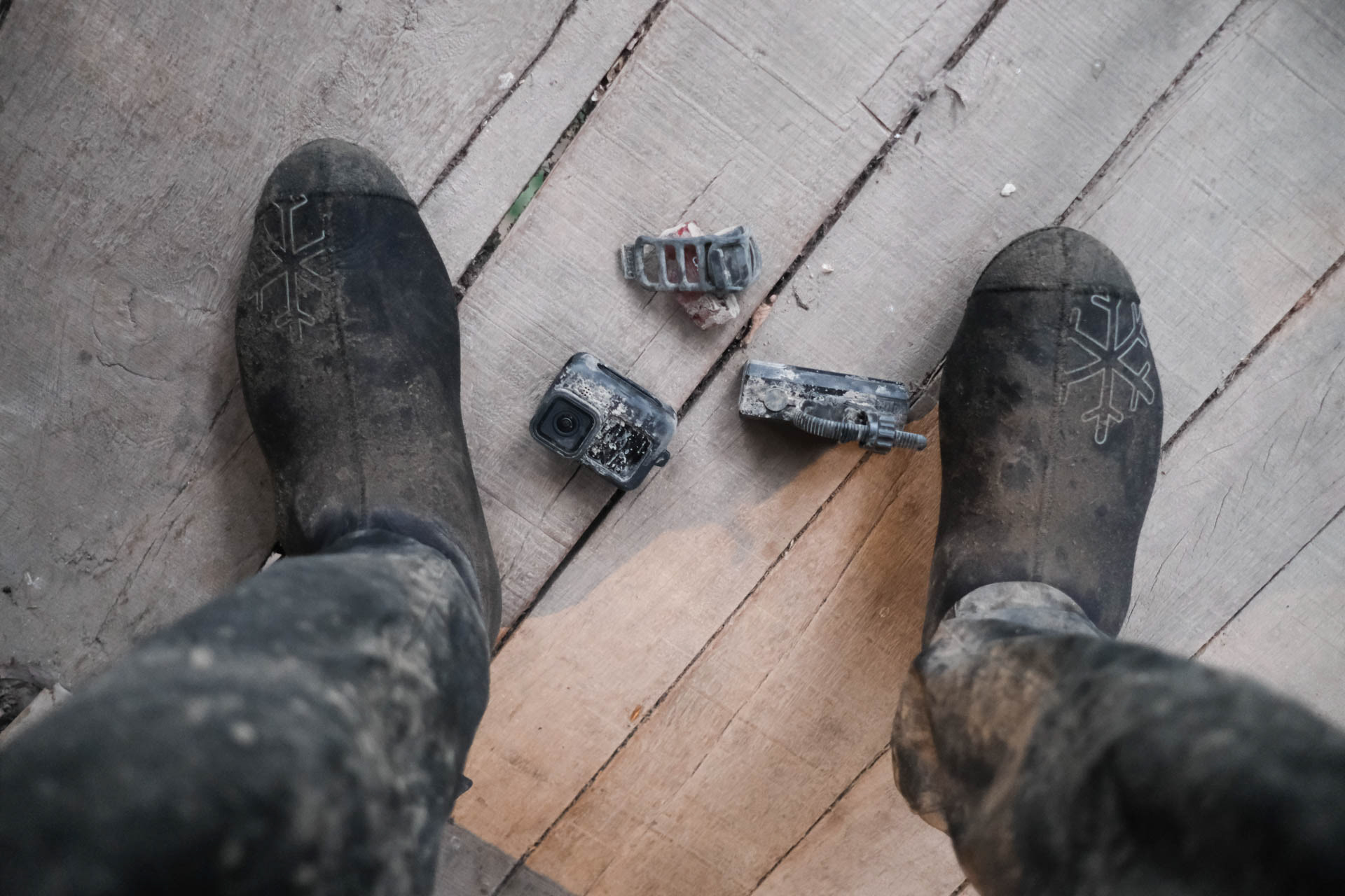

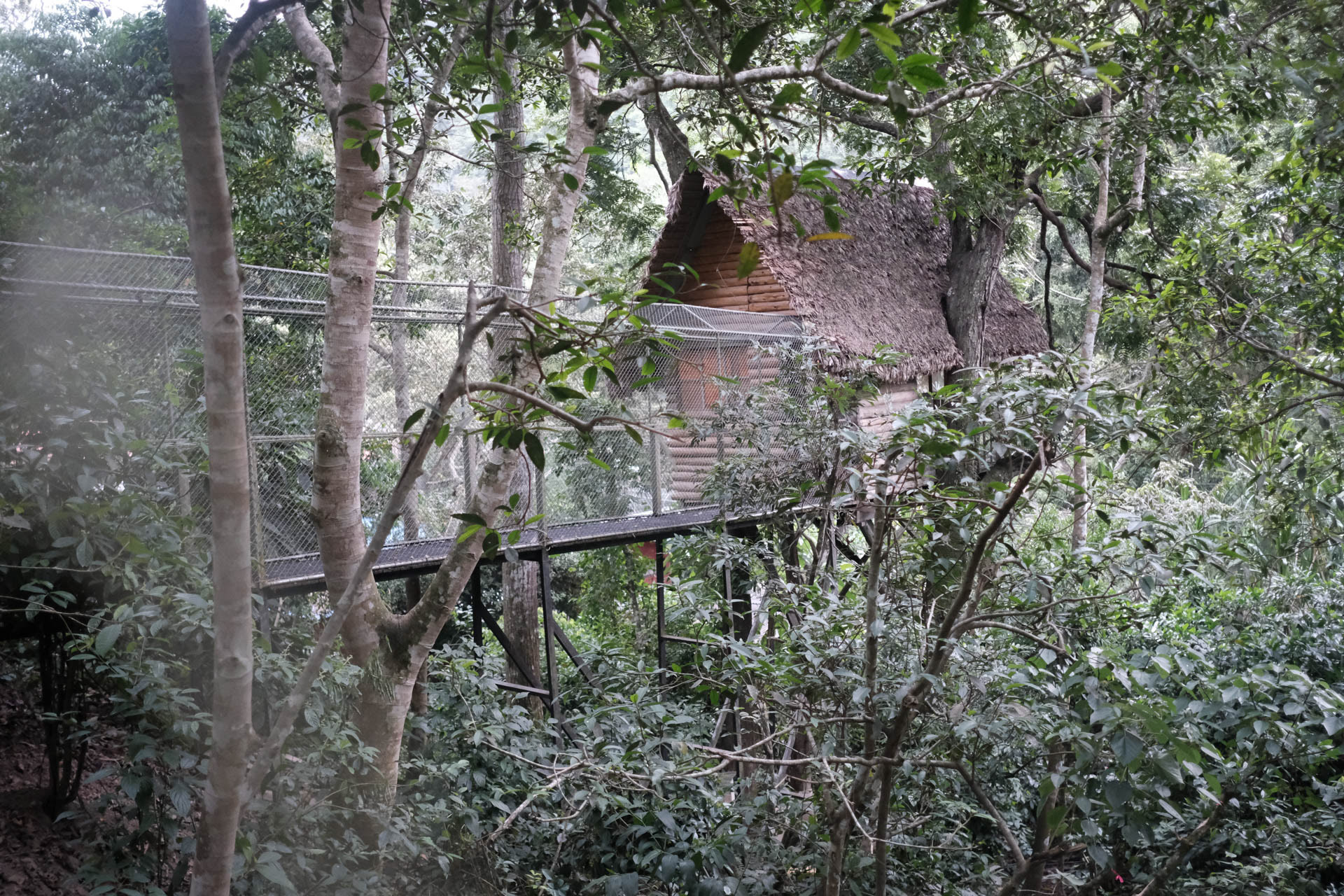
Flores founded the home for illegally captured animals 20 years ago. In it live leopards, bears, tapirs, alligators and snakes. They all run free, so I sleep in a tree house.
Return from Coroico to La Paz, the Andean tour is coming to an end. Has been really exhausting.